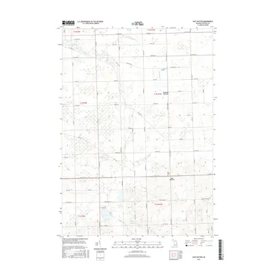
2017 Map of East Dayton
USGS Topo · Published 2017About this map
East Dayton serves as the primary focal point of this Tuscola County landscape, situated at the intersection of Sanilac Road and Hurds Corner Road. The surrounding terrain is defined by a complex drainage system including Sucker Creek and Butternut Creek, which flow through a patchwork of agricultural plots and woodlots. Further south, the geography shifts toward more concentrated water bodies such as Harmon Lake and Cat Lake, alongside the engineered Phelps Lake Drain. For those researching local lineages, the map identifies significant burial sites including the East Dayton Cemetery and North Wells Cemetery. The grid of rural roads, such as Mushroom Road and Boy Scout Road, illustrates the persistent township and range land division that has shaped this part of Michigan's Thumb region for generations.
Find a feature on this map
63 named features on this map. Tap any name to fly to it.
Don’t see what you’re looking for? This feature index may not catch every label — zoom into the map to look around manually.
Map Details
Editions of this 2017 East Dayton Map
This is the sole edition of this map. No revisions or reprints were ever made.
Other maps of this area

1954 · Flint
USGS Topo · 1:250,000

1958 · Flint
USGS Topo · 1:250,000

1963 · Clifford
USGS Topo · 1:24,000

1963 · East Dayton
USGS Topo · 1:24,000

1963 · Mayville
USGS Topo · 1:24,000

1963 · Kingston
USGS Topo · 1:24,000

1963 · Cass City
USGS Topo · 1:24,000

1963 · Ellington
USGS Topo · 1:24,000

1963 · Caro
USGS Topo · 1:24,000

1963 · Juniata
USGS Topo · 1:24,000