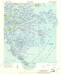
1958 Map of East Delta
USGS Topo · Published 1961About this map
The Pass A Loutre bird and game preserve dominates this 1958 survey of the Mississippi River delta, where the river's many fingers reach into the Gulf of Mexico. This is a landscape defined by an intricate network of waterways and ridges, including Brant Ridge and Morgan Ridge, which provided the only stable ground amidst the expanding marshes. The remote settlement of Port Eads sits at the southern tip of the quadrangle, serving as a vital outpost near the entrance to South Pass.
Find a feature on this map
111 named features on this map. Tap any name to fly to it.
Don’t see what you’re looking for? This feature index may not catch every label — zoom into the map to look around manually.
Map Details
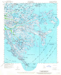
Editions of this 1958 East Delta Map
2 editions found
Other maps of this area

1893 · East Delta
USGS Topo · 1:62,500

1893 · Forts
USGS Topo · 1:62,500

1893 · West Delta
USGS Topo · 1:62,500

1935 · Garden Island Pass
USGS Topo · 1:31,680

1935 · South Pass
USGS Topo · 1:31,680

1946 · Mudpan Bayou
USGS Topo · 1:31,680

1947 · Garden Island Pass
USGS Topo · 1:31,680

1947 · Pass A Loutre West
USGS Topo · 1:31,680

1947 · Venice
USGS Topo · 1:31,680

1947 · Southwest Pass
USGS Topo · 1:31,680