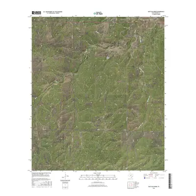
2016 Map of East Elm Creek
USGS Topo · Published 2016About this map
Elm Cr and East Elm Creek define the drainage patterns of this rural Menard County landscape, where the terrain is marked by a series of prominent draws and hollows. The survey captures a quiet pocket of Central Texas characterized by ranch roads and significant water features like Coleman Spring and Menzie Cr. Transportation in the area is anchored by the east-west corridor of FM 1773, which connects several local thoroughfares including Winslow Ln and Stevens Rd. The map provides names for several distinct topographic depressions such as North Coon Hollow, Fox Hollow, and Hog Hollow, which are valuable for those tracing family land holdings or historic property boundaries in this part of the Edwards Plateau. The presence of Coleman Spring Draw further illustrates the complex watershed that feeds into the larger creek systems.
Find a feature on this map
19 named features on this map. Tap any name to fly to it.
Don’t see what you’re looking for? This feature index may not catch every label — zoom into the map to look around manually.
Map Details
Editions of this 2016 East Elm Creek Map
This is the sole edition of this map. No revisions or reprints were ever made.
Other maps of this area
1954 · Llano
USGS Topo · 1:250,000
1955 · Llano
USGS Topo · 1:250,000
1956 · Llano
USGS Topo · 1:250,000
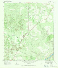
1968 · London
USGS Topo · 1:24,000
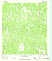
1970 · Julio Draw
USGS Topo · 1:24,000
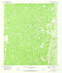
1970 · Brewer Hollow
USGS Topo · 1:24,000
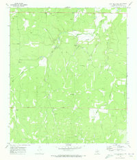
1970 · East Elm Creek
USGS Topo · 1:24,000
1970 · Hext
USGS Topo · 1:24,000
1970 · Spoon Draw
USGS Topo · 1:24,000
1970 · Robbers Roost
USGS Topo · 1:24,000