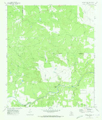
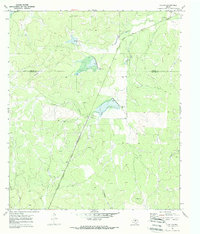
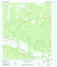
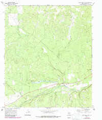
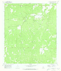
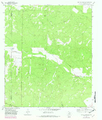
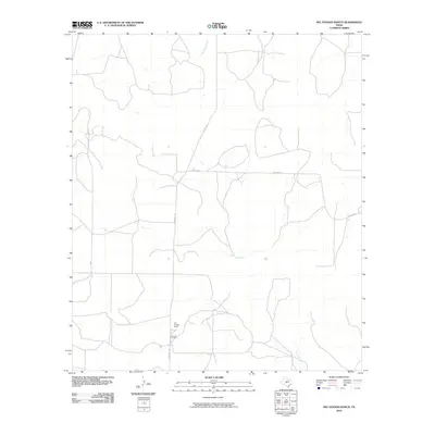
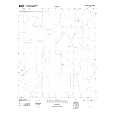
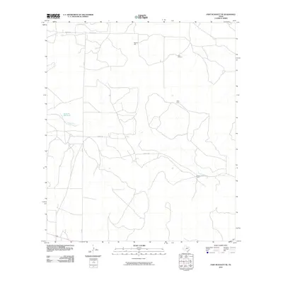
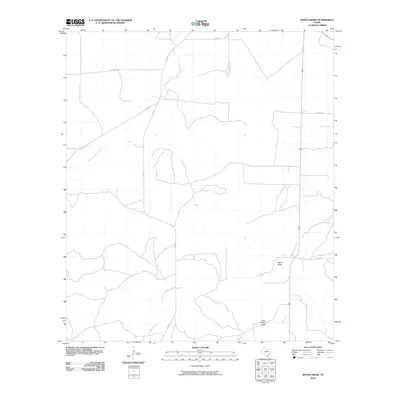
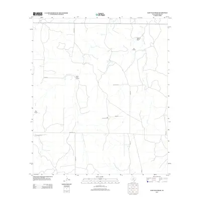
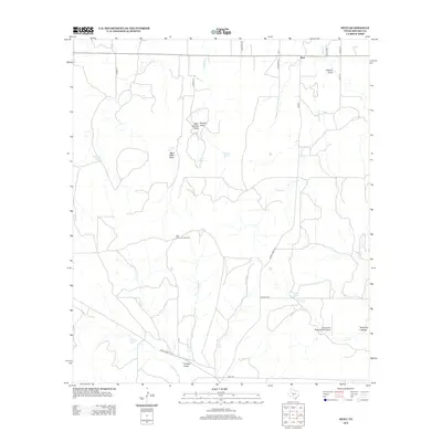
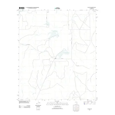
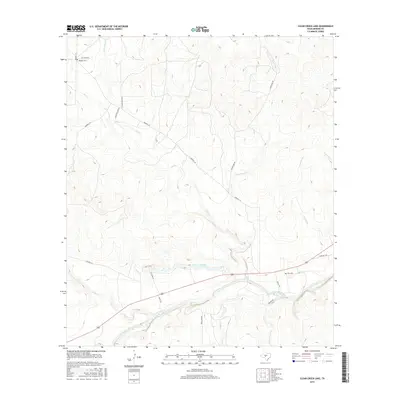
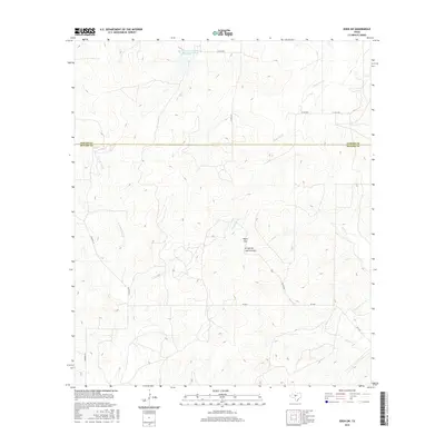
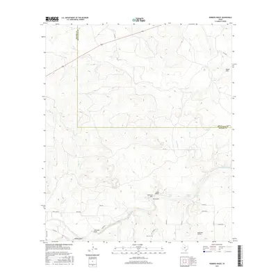
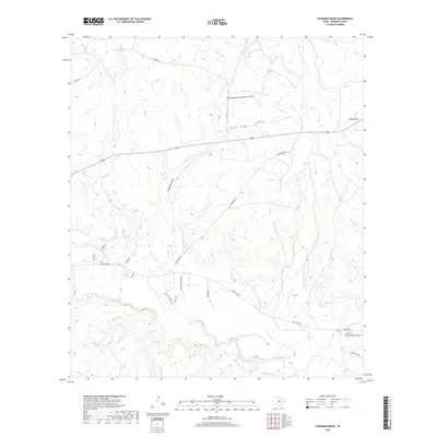
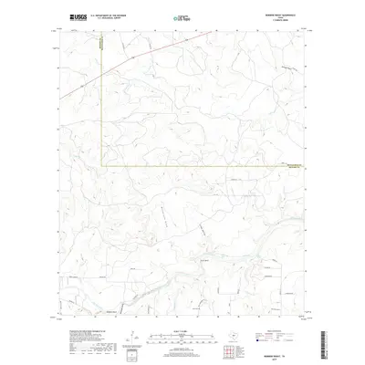
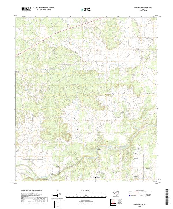
1970 Map of Robbers Roost
USGS Topo · Published 1973About this map
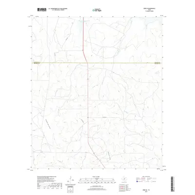
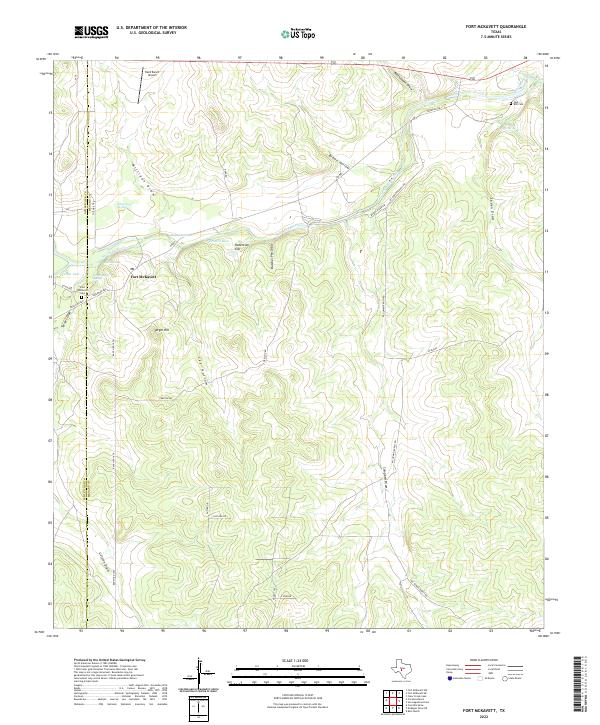
The San Saba River cuts through this Central Texas landscape near the border of Menard and McCulloch counties, shaping a terrain defined by deep draws and persistent water holes. During the early 1970s, the river valley supported local recreation at the Robbers Roost Campground and distinctive river features such as Picnic Bend, Billy Hole, and Gobal Hole. The area's hydrology is complex, with numerous named drainages like Calf Creek, Greenhead Creek, and McDougal Draw feeding into the main river system.
Find a feature on this map
22 named features on this map. Tap any name to fly to it.
Don’t see what you’re looking for? This feature index may not catch every label — zoom into the map to look around manually.
Map Details
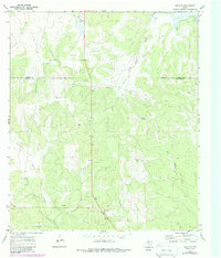
Editions of this 1970 Robbers Roost Map
This is the sole edition of this map. No revisions or reprints were ever made.
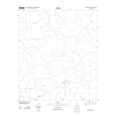
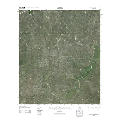
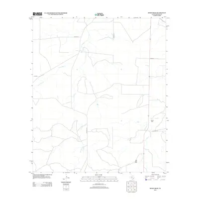
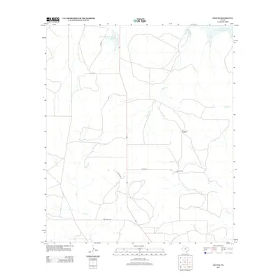
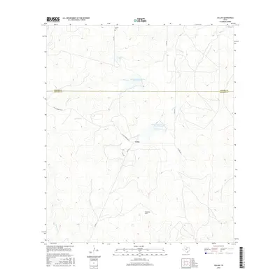
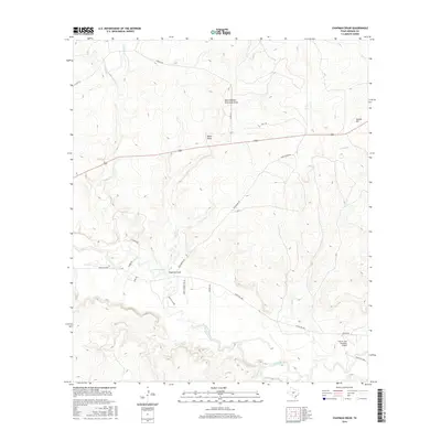
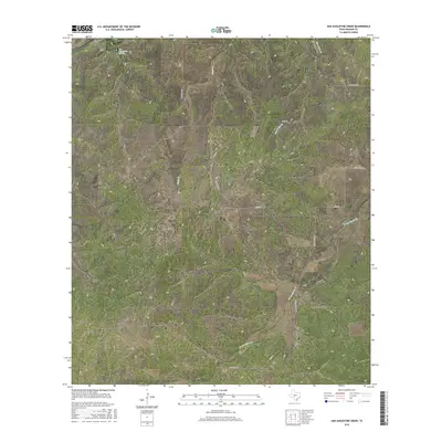
Historical Maps of McCulloch County Through Time
78 maps found
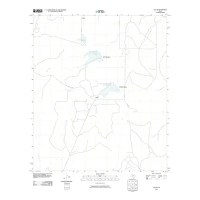
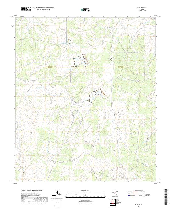
1970 Callan
Menard County, TX
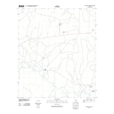
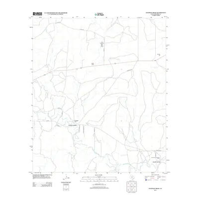
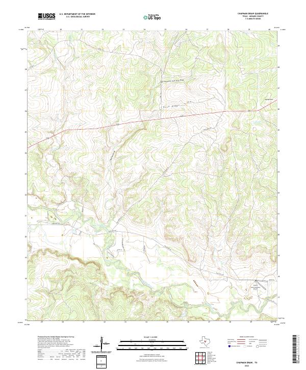
1970 Chapman Draw
Menard County, TX
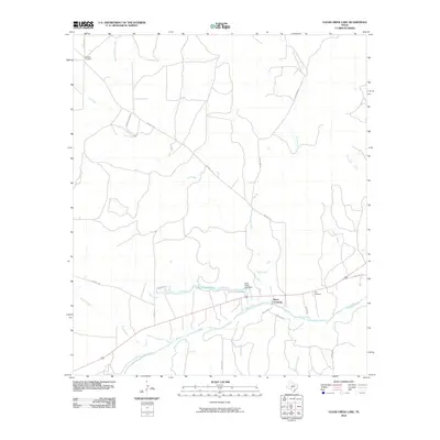
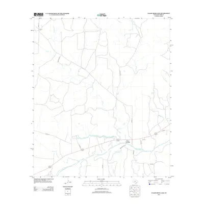
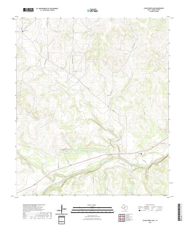
1970 Clear Creek Lake
Menard County, TX

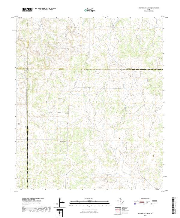
1970 Del Venado Ranch
Menard County, TX
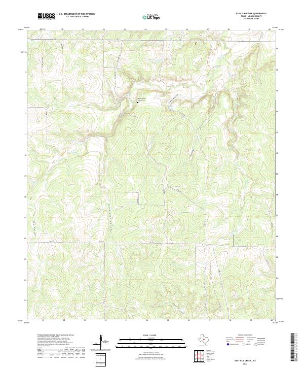
1970 East Elm Creek
Menard County, TX
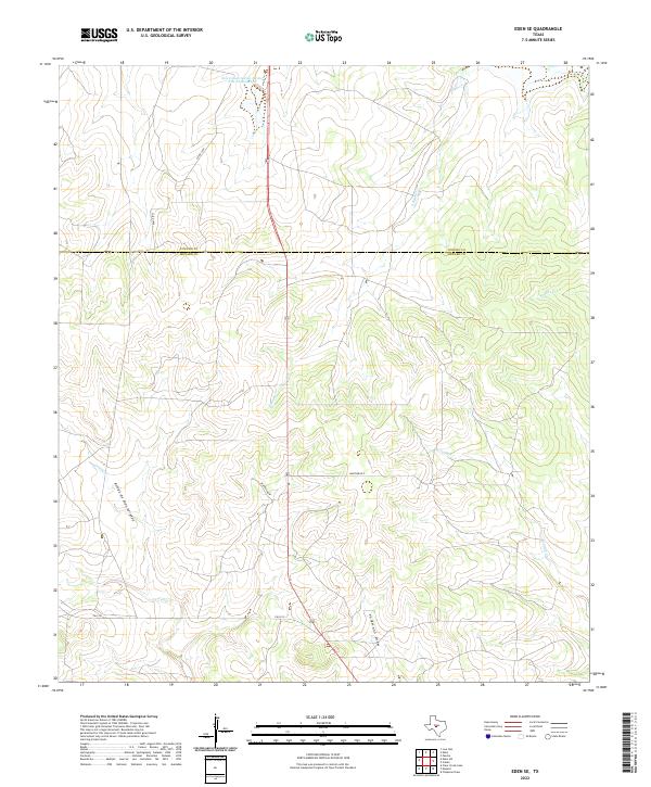
1970 Eden SE
Menard County, TX
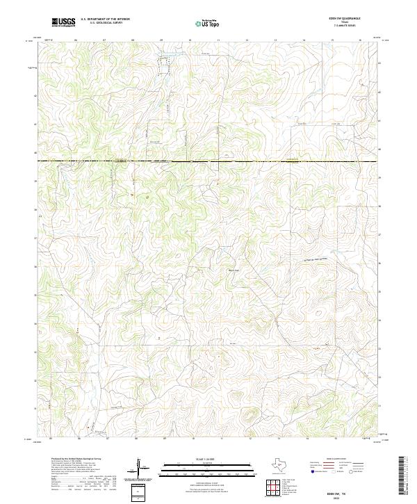
1970 Eden SW
Menard County, TX
1970 Fort McKavett
Menard County, TX
1970 Fort McKavett NE
Menard County, TX
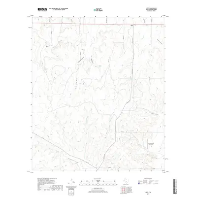
1970 Hext
Menard County, TX
1970 Robbers Roost
Menard County, TX
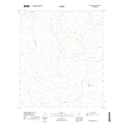
1970 San Augustine Draw
Menard County, TX
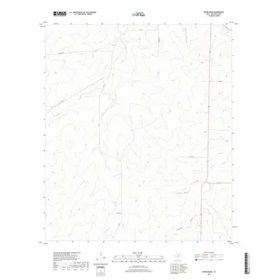
1970 Spoon Draw
Menard County, TX
2010 Callan
Menard County, TX
2010 Chapman Draw
Menard County, TX
2010 Clear Creek Lake
Menard County, TX
2010 Del Venado Ranch
Menard County, TX
2010 East Elm Creek
Menard County, TX
2010 Eden SE
Menard County, TX
2010 Eden SW
Menard County, TX
2010 Fort McKavett
Menard County, TX
2010 Fort McKavett NE
Menard County, TX
2010 Hext
Menard County, TX
2010 Robbers Roost
Menard County, TX
2010 San Augustine Draw
Menard County, TX
2010 Spoon Draw
Menard County, TX
2012 Chapman Draw
Menard County, TX
2012 Clear Creek Lake
Menard County, TX
2012 Del Venado Ranch
Menard County, TX
2012 East Elm Creek
Menard County, TX
2012 Eden SW
Menard County, TX
2012 Fort McKavett
Menard County, TX
2012 Fort McKavett NE
Menard County, TX
2012 Hext
Menard County, TX
2012 Robbers Roost
Menard County, TX
2012 San Augustine Draw
Menard County, TX
2012 Spoon Draw
Menard County, TX
2013 Callan
Menard County, TX
2013 Eden SE
Menard County, TX
2016 Callan
Menard County, TX
2016 Chapman Draw
Menard County, TX
2016 Clear Creek Lake
Menard County, TX
2016 Del Venado Ranch
Menard County, TX
2016 East Elm Creek
Menard County, TX
2016 Eden SE
Menard County, TX
2016 Eden SW
Menard County, TX
2016 Fort McKavett
Menard County, TX
2016 Fort McKavett NE
Menard County, TX
2016 Hext
Menard County, TX
2016 Robbers Roost
Menard County, TX
2016 San Augustine Draw
Menard County, TX
2016 Spoon Draw
Menard County, TX
2019 Callan
Menard County, TX
2019 Chapman Draw
Menard County, TX
2019 Clear Creek Lake
Menard County, TX
2019 Del Venado Ranch
Menard County, TX
2019 East Elm Creek
Menard County, TX
2019 Eden SE
Menard County, TX
2019 Eden SW
Menard County, TX
2019 Fort McKavett
Menard County, TX
2019 Fort McKavett NE
Menard County, TX
2019 Hext
Menard County, TX
2019 Robbers Roost
Menard County, TX
2019 San Augustine Draw
Menard County, TX
2019 Spoon Draw
Menard County, TX
2022 Callan
Menard County, TX
2022 Chapman Draw
Menard County, TX
2022 Clear Creek Lake
Menard County, TX
2022 Del Venado Ranch
Menard County, TX
2022 East Elm Creek
Menard County, TX
2022 Eden SE
Menard County, TX
2022 Eden SW
Menard County, TX
2022 Fort McKavett
Menard County, TX
2022 Fort McKavett NE
Menard County, TX
2022 Hext
Menard County, TX
2022 Robbers Roost
Menard County, TX
2022 San Augustine Draw
Menard County, TX
2022 Spoon Draw
Menard County, TX