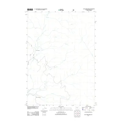
2012 Map of East Fork Basin
USGS Topo · Published 2012About this map
Mountain Meadows and the expansive East Fork Basin define this high-altitude landscape in Fremont County, where the headwaters of the E Fork Wind River draw a complex drainage network. The map illustrates a wilderness characterized by numerous named tributaries such as Needle Cr, Sheep Cr, and Beaver Cr, many of which converge toward the basin floor. The only significant infrastructure shown is the E Fork Rd, which skirts the western edge of the river valley, providing a singular point of access into this remote terrain. The distribution of creeks like Meadow Cr and Pine Cr reveals the natural hydrology of the region before it flows into the larger Wind River system, offering a detailed record of the geography as it stood in the early 21st century.
Find a feature on this map
16 named features on this map. Tap any name to fly to it.
Don’t see what you’re looking for? This feature index may not catch every label — zoom into the map to look around manually.
Map Details
Editions of this 2012 East Fork Basin Map
This is the sole edition of this map. No revisions or reprints were ever made.
Other maps of this area
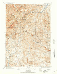
1904 · Kirwin
USGS Topo · 1:125,000
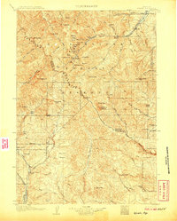
1906 · Kirwin
USGS Topo · 1:125,000

1955 · Thermopolis
USGS Topo · 1:250,000
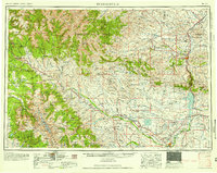
1958 · Thermopolis
USGS Topo · 1:250,000
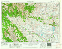
1962 · Thermopolis
USGS Topo · 1:250,000
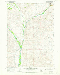
1967 · Bain Draw
USGS Topo · 1:24,000
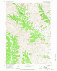
1967 · Monument Peak
USGS Topo · 1:24,000
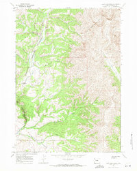
1967 · East Fork Basin
USGS Topo · 1:24,000
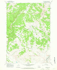
1967 · Castle Rock
USGS Topo · 1:24,000
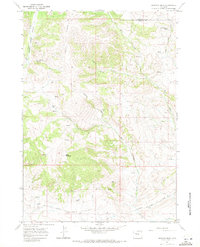
1967 · Johnson Draw
USGS Topo · 1:24,000