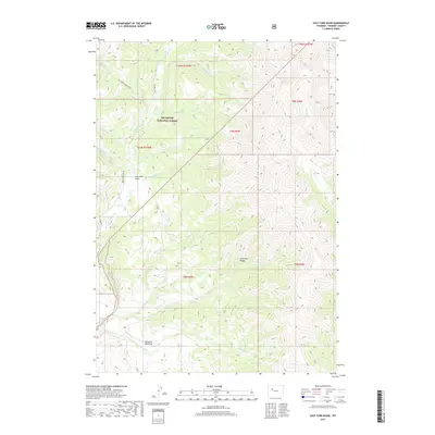
2017 Map of East Fork Basin
USGS Topo · Published 2017About this map
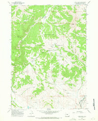
East Fork Basin sits at the heart of this high-elevation wilderness within the Shoshone National Forest, where the headwaters of the E Fork Wind River gather from the surrounding peaks. The landscape is defined by the sharp topography of the Absaroka Range, carved by a dense network of drainages including Beaver Cr, Pine Cr, and Needle Cr. This map documents the essential corridors for backcountry travel, specifically the E Fork Trail and the Tepee Creek Trail, which navigate the steep terrain between basins and the open stretches of Mountain Meadows. The drainage patterns, such as the convergence of Lake Cr and Sheep Cr, reveal the complex hydrological structure of this protected alpine environment.
Find a feature on this map
26 named features on this map. Tap any name to fly to it.
Don’t see what you’re looking for? This feature index may not catch every label — zoom into the map to look around manually.
Map Details
Editions of this 2017 East Fork Basin Map
This is the sole edition of this map. No revisions or reprints were ever made.
Other maps of this area
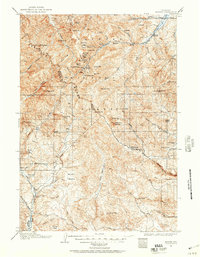
1904 · Kirwin
USGS Topo · 1:125,000
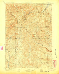
1906 · Kirwin
USGS Topo · 1:125,000

1955 · Thermopolis
USGS Topo · 1:250,000
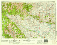
1958 · Thermopolis
USGS Topo · 1:250,000
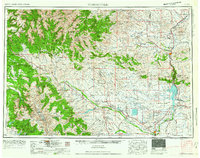
1962 · Thermopolis
USGS Topo · 1:250,000
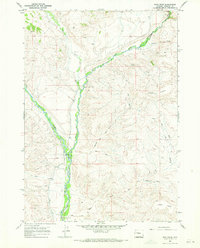
1967 · Bain Draw
USGS Topo · 1:24,000
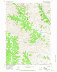
1967 · Monument Peak
USGS Topo · 1:24,000
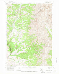
1967 · East Fork Basin
USGS Topo · 1:24,000
1967 · Castle Rock
USGS Topo · 1:24,000
1967 · Johnson Draw
USGS Topo · 1:24,000