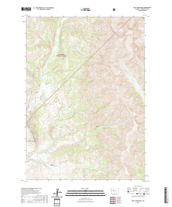
2021 Map of East Fork Basin
USGS Topo · Published 2021About this map
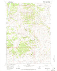
The Shoshone National Forest encompasses this wilderness area in the eastern reaches of the Absaroka Range. The landscape is defined by the high-elevation drainage of the East Fork Wind River, which flows through the East Fork Basin. This modern survey illustrates the natural hydrology of the region, featuring an intricate network of mountain streams including Beaver Cr, Lake Cr, and Needle Cr.
Find a feature on this map
25 named features on this map. Tap any name to fly to it.
Don’t see what you’re looking for? This feature index may not catch every label — zoom into the map to look around manually.
Map Details
Editions of this 2021 East Fork Basin Map
This is the sole edition of this map. No revisions or reprints were ever made.
Other maps of this area

1904 · Kirwin
USGS Topo · 1:125,000

1906 · Kirwin
USGS Topo · 1:125,000

1955 · Thermopolis
USGS Topo · 1:250,000

1958 · Thermopolis
USGS Topo · 1:250,000

1962 · Thermopolis
USGS Topo · 1:250,000
1967 · Bain Draw
USGS Topo · 1:24,000

1967 · Monument Peak
USGS Topo · 1:24,000
1967 · East Fork Basin
USGS Topo · 1:24,000
1967 · Castle Rock
USGS Topo · 1:24,000
1967 · Johnson Draw
USGS Topo · 1:24,000