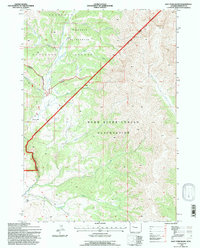
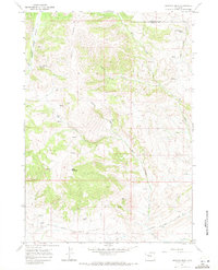
1991 Map of East Fork Basin
USGS Topo · Published 1997About this map
The Wind River Indian Reservation Boundary cuts a prominent diagonal across this 1991 revision, dividing the high-altitude terrain between tribal lands and the Washakie Wilderness. Located within the Shoshone National Forest, this area is defined by sharp topographic shifts from the heights of Wiggins Peak and Crow Mtn down into the East Fork Basin.
Find a feature on this map
31 named features on this map. Tap any name to fly to it.
Don’t see what you’re looking for? This feature index may not catch every label — zoom into the map to look around manually.
Map Details
Editions of this 1991 East Fork Basin Map
This is the sole edition of this map. No revisions or reprints were ever made.
Other maps of this area

1904 · Kirwin
USGS Topo · 1:125,000

1906 · Kirwin
USGS Topo · 1:125,000

1955 · Thermopolis
USGS Topo · 1:250,000

1958 · Thermopolis
USGS Topo · 1:250,000

1962 · Thermopolis
USGS Topo · 1:250,000
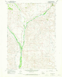
1967 · Bain Draw
USGS Topo · 1:24,000

1967 · Monument Peak
USGS Topo · 1:24,000
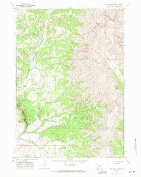
1967 · East Fork Basin
USGS Topo · 1:24,000
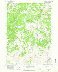
1967 · Castle Rock
USGS Topo · 1:24,000
1967 · Johnson Draw
USGS Topo · 1:24,000