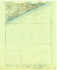
1904 Map of East Hampton
USGS Topo · Published 1944About this map
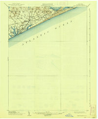
East Hampton and the surrounding coastline of eastern Long Island are documented here during the earliest years of the twentieth century. The landscape is defined by the thin strip of Napeague Beach stretching toward the east and the intricate freshwater and brackish systems of Georgica Pond, Hook Pond, and Wainscott Pond. Early inland settlements like Hardscrabble, Pantigo, and Jericho illustrate the rural character of the area before modern development. Of particular historical interest are the Life Saving Stations, including Amagansett L.S.S. and Georgica L.S.S., which stood as vital maritime outposts along the Atlantic Ocean. The presence of the Long Island railroad and the Division (Montauk) line reveals the transportation network that connected these coastal hamlets and the fishing outpost of Promised Land to the rest of the state.
Find a feature on this map
29 named features on this map. Tap any name to fly to it.
Don’t see what you’re looking for? This feature index may not catch every label — zoom into the map to look around manually.
Map Details
Editions of this 1904 East Hampton Map
6 editions found
Other maps of this area

1903 · Sag Harbor
USGS Topo · 1:62,500

1903 · Gardiners Island
USGS Topo · 1:62,500

1904 · Sag Harbor
USGS Topo · 1:62,500

1904 · Shelter Island
USGS Topo · 1:62,500

1904 · Easthampton
USGS Topo · 1:62,500

1904 · Gardiners Island
USGS Topo · 1:62,500

1904 · Montauk
USGS Topo · 1:62,500

1921 · Gardiners Island
USGS Topo · 1:62,500

1921 · Easthampton
USGS Topo · 1:62,500
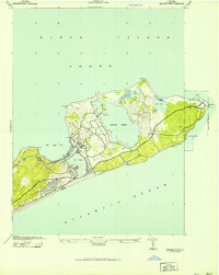
1942 · Montauk Point
USGS Topo · 1:24,000
Featured Places
- Southampton, NY
- East Hampton, NY
- Springs, East Hampton
- East Hampton North, East Hampton
- Northwest Harbor, East Hampton