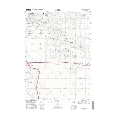
2017 Map of East Lansing
USGS Topo · Published 2017About this map
Michigan State Univ and the winding Red Cedar River dominate the northern portion of this 2017 study, where the developed grids of East Lansing meet the academic campus and suburban expanses of Okemos and Haslett. The landscape transitions from dense urban corridors like Michigan Ave and Grand River Ave to more open areas in the south, marked by agricultural fields and wetlands along Sycamore Creek. Genealogists will find a significant concentration of local history in the numerous burial grounds documented, including the Ingham County Home Cem, the small Leek Cem, and Foote-Rockwell Cem situated near the southern bypass. This contemporary survey captures the interplay between modern transportation infrastructure, like the large interstate interchange at Lansing, and natural features like Dobie Lake and the Pine Lake Outlet.
Find a feature on this map
57 named features on this map. Tap any name to fly to it.
Don’t see what you’re looking for? This feature index may not catch every label — zoom into the map to look around manually.
Map Details
Editions of this 2017 East Lansing Map
This is the sole edition of this map. No revisions or reprints were ever made.
Other maps of this area

1909 · Mason
USGS Topo · 1:62,500

1910 · Lansing
USGS Topo · 1:62,500

1911 · Mason
USGS Topo · 1:62,500

1912 · Lansing
USGS Topo · 1:62,500

1927 · De Witt
USGS Topo · 1:62,500

1928 · Laingsburg
USGS Topo · 1:62,500

1944 · Laingsburg
USGS Topo · 1:62,500

1958 · Grand Rapids
USGS Topo · 1:250,000

1961 · Grand Rapids
USGS Topo · 1:250,000

1962 · Grand Rapids
USGS Topo · 1:250,000
Featured Places
- Lansing, MI
- East Lansing, MI
- Lansing Charter Township, MI
- Meridian Charter Township, MI
- Alaiedon Township, MI