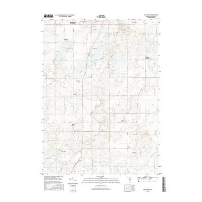
2017 Map of East Leroy
USGS Topo · Published 2017About this map
East Leroy and the rural townships south of Battle Creek define this landscape, where family heritage is anchored by several long-established burial grounds. From Morgan Cem in the north to Walker Cem near the southern boundary, these sites offer a geographic record of the area's farming families. The settlement pattern is characterized by crossroads hamlets like Sonoma, Joppa, and Stanley Corners, each situated within a grid of county roads such as Sonoma Rd and Capital Ave SW.
Find a feature on this map
74 named features on this map. Tap any name to fly to it.
Don’t see what you’re looking for? This feature index may not catch every label — zoom into the map to look around manually.
Map Details
Editions of this 2017 East Leroy Map
This is the sole edition of this map. No revisions or reprints were ever made.
Other maps of this area

1918 · Battle Creek
USGS Topo · 1:62,500

1918 · Union City
USGS Topo · 1:62,500

1918 · Galesburg
USGS Topo · 1:62,500

1918 · Leonidas
USGS Topo · 1:62,500

1943 · Battle Creek
USGS Topo · 1:62,500

1944 · Leonidas
USGS Topo · 1:62,500

1944 · Galesburg
USGS Topo · 1:62,500

1947 · Augusta
USGS Topo · 1:24,000

1947 · Ceresco
USGS Topo · 1:24,000

1947 · Battle Creek
USGS Topo · 1:24,000