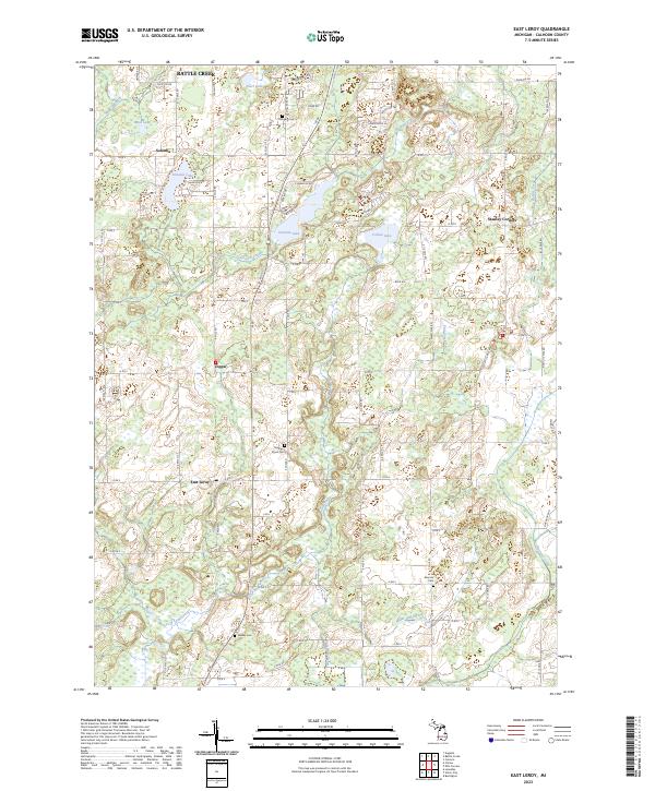
2023 Map of East Leroy
USGS Topo · Published 2023About this map
East Leroy and Sonoma anchor this rural landscape in Calhoun County, where small agricultural settlements are connected by a dense grid of county roads such as M 66 and Division Dr. The terrain is defined by a complex drainage system featuring Nottawa Creek, Pine Creek, and Severence Creek, alongside several glacial kettle lakes like Graham Lake and Sonoma Lake. These water bodies and marshy lowlands suggest a landscape that has long dictated the placement of farms and local transport routes. Genealogy researchers will find several family-named burial grounds throughout the townships, including Morgan Cem, Mather-Voyce Cem, and Walker Cem. A significant area of interest is the Farm Service Agency Interest of Michigan, indicating specific land conservation or management roles in this part of the state.
Find a feature on this map
80 named features on this map. Tap any name to fly to it.
Don’t see what you’re looking for? This feature index may not catch every label — zoom into the map to look around manually.
Map Details
Editions of this 2023 East Leroy Map
This is the sole edition of this map. No revisions or reprints were ever made.
Other maps of this area

1918 · Battle Creek
USGS Topo · 1:62,500

1918 · Union City
USGS Topo · 1:62,500

1918 · Galesburg
USGS Topo · 1:62,500

1918 · Leonidas
USGS Topo · 1:62,500

1943 · Battle Creek
USGS Topo · 1:62,500

1944 · Leonidas
USGS Topo · 1:62,500

1944 · Galesburg
USGS Topo · 1:62,500

1947 · Augusta
USGS Topo · 1:24,000

1947 · Ceresco
USGS Topo · 1:24,000

1947 · Battle Creek
USGS Topo · 1:24,000