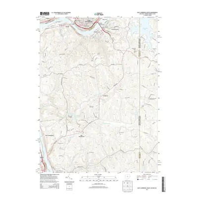
2013 Map of East Liverpool South
USGS Topo · Published 2013About this map
The Ohio River flows through this tri-state border region, where industrial and residential settlements like East Liverpool, Newell, and Chester are linked by the Jennings Randolph Memorial Bridge. This 2013 survey illustrates the complex land use at the intersection of Ohio, West Virginia, and Pennsylvania, featuring educational hubs like the Kent State Univ E Liverpool Campus alongside recreational spaces such as Tomlinson Run Lake and the Pleasant Hills Golf Course.
Find a feature on this map
100 named features on this map. Tap any name to fly to it.
Don’t see what you’re looking for? This feature index may not catch every label — zoom into the map to look around manually.
Map Details
Editions of this 2013 East Liverpool South Map
This is the sole edition of this map. No revisions or reprints were ever made.
Other maps of this area

1901 · Beaver
USGS Topo · 1:62,500

1904 · Wellsville
USGS Topo · 1:62,500

1904 · Steubenville
USGS Topo · 1:62,500

1904 · Beaver
USGS Topo · 1:62,500

1904 · Burgettstown
USGS Topo · 1:62,500

1906 · Burgettstown
USGS Topo · 1:62,500

1935 · Steubenville
USGS Topo · 1:62,500

1937 · Wellsville
USGS Topo · 1:62,500

1942 · Steubenville
USGS Topo · 1:62,500

1944 · Wellsville
USGS Topo · 1:62,500