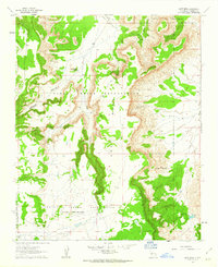
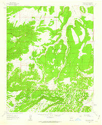
1961 Map of East Mesa
USGS Topo · Published 1963About this map
The Laguna Indian Reservation and Acoma Indian Reservation converge in this high-desert landscape, defined by the massive plateau of East Mesa. In the early 1960s, this area was a working rangeland where topographical features like Ojo Canyon and Paradise Canyon dictated the flow of water and human movement. Settlement and activity are concentrated around precious water sources and natural landmarks, such as the Frank Paisano Spring and the Petaca Pinta Dam, which includes a noted spillway elevation. Evidence of long-standing human presence is marked by Ruins and the Southwest Plaza, while then-contemporary ranching operations are anchored by the Sarracino Ranch and Wilson Windmill. A network of Jeep Trails provides the primary access through the broken terrain, winding past geological curiosities like Needle Pinnacle and extensive deposits of Lava.
Find a feature on this map
21 named features on this map. Tap any name to fly to it.
Don’t see what you’re looking for? This feature index may not catch every label — zoom into the map to look around manually.
Map Details
Editions of this 1961 East Mesa Map
2 editions found
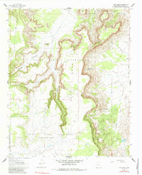
Other maps of this area

1917 · Cerro Verde
USGS Topo · 1:125,000

1917 · Broom Mountain
USGS Topo · 1:125,000

1954 · Socorro
USGS Topo · 1:250,000

1958 · Socorro
USGS Topo · 1:250,000
1960 · South Butte
USGS Topo · 1:24,000
1961 · Acoma Pueblo
USGS Topo · 1:24,000

1961 · Marmon Ranch
USGS Topo · 1:24,000
1961 · Crow Point
USGS Topo · 1:24,000
1961 · Blue Mesa
USGS Topo · 1:24,000

1962 · Socorro
USGS Topo · 1:250,000