
1970 Map of East Mesa
USGS Topo · Published 1973About this map
Guayule Mountain and the broad plateau of East Mesa dominate this landscape, illustrating the water-dependent ranching and resource extraction economy of West Texas in the early 1970s. The presence of the Atchison Topeka and Santa Fe railroad in the northwest corner, alongside a complex network of ranch roads and a prominent Pipeline, suggests an area defined by transport and transit. This survey records the vital water infrastructure necessary for survival in Pecos County, mapping numerous named wells and windmills such as Old Headquarters Windmill, Partnership Windmill, and West Pasture Windmill. Land ownership and local ranching history are grounded in labels for McKenzie Ranch and Fourteenmile Park. Industrial footprints are also visible through several Oil Wells, Drill Hole locations, and Gravel Pits scattered across the flats.
Find a feature on this map
19 named features on this map. Tap any name to fly to it.
Don’t see what you’re looking for? This feature index may not catch every label — zoom into the map to look around manually.
Map Details
Editions of this 1970 East Mesa Map
This is the sole edition of this map. No revisions or reprints were ever made.
Other maps of this area

1921 · Fort Stockton
USGS Topo · 1:62,500

1923 · Fort Stockton
USGS Topo · 1:62,500

1928 · Comanche Spring
USGS Topo · 1:125,000

1954 · Pecos
USGS Topo · 1:250,000

1954 · Fort Stockton
USGS Topo · 1:250,000

1957 · Pecos
USGS Topo · 1:250,000

1958 · Fort Stockton
USGS Topo · 1:250,000
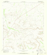
1970 · Saddle Butte
USGS Topo · 1:24,000
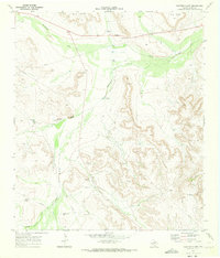
1970 · Panther Bluff
USGS Topo · 1:24,000
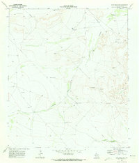
1970 · East Mesa SW
USGS Topo · 1:24,000