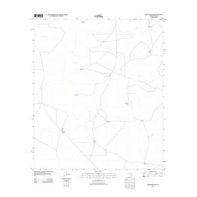
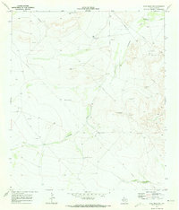
2012 Map of East Mesa SW
USGS Topo · Published 2012About this map
Water infrastructure defines the character of this arid Pecos County landscape, where survival depends on a network of remote pumping stations. The distribution of features like Five Section Windmill, Three Section Windmill, and Ike Windmill across the desert scrub indicates a ranching economy organized around these vital groundwater access points. These named windmills often mark the location of stock tanks or historic range boundaries, providing a detailed look at land management in the West Texas interior.
Find a feature on this map
13 named features on this map. Tap any name to fly to it.
Don’t see what you’re looking for? This feature index may not catch every label — zoom into the map to look around manually.
Map Details
Editions of this 2012 East Mesa SW Map
This is the sole edition of this map. No revisions or reprints were ever made.
Other maps of this area
1921 · Fort Stockton
USGS Topo · 1:62,500
1923 · Fort Stockton
USGS Topo · 1:62,500
1923 · Sierra Madera
USGS Topo · 1:62,500
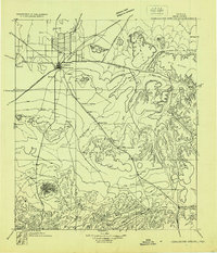
1928 · Comanche Spring
USGS Topo · 1:125,000

1954 · Fort Stockton
USGS Topo · 1:250,000

1958 · Fort Stockton
USGS Topo · 1:250,000
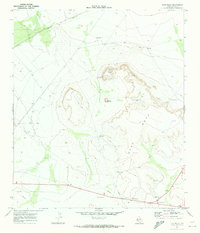
1970 · East Mesa
USGS Topo · 1:24,000
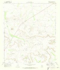
1970 · Saddle Butte
USGS Topo · 1:24,000
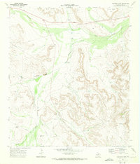
1970 · Panther Bluff
USGS Topo · 1:24,000
1970 · East Mesa SW
USGS Topo · 1:24,000