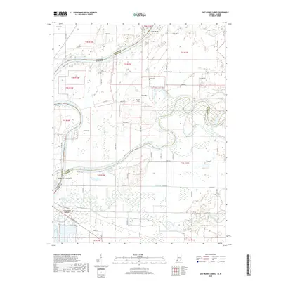
2019 Map of East Mount Carmel
USGS Topo · Published 2019About this map
The Wabash River serves as the winding centerpiece of this tri-county border region where Illinois meets Indiana. This hydrologically complex landscape is defined by the convergence of major waterways, including the White River and Patoka River, which carve through the fertile bottomlands. These rivers create a network of sloughs and lowlands like the Cypress Swamps and Maucks Pond, illustrating the persistent influence of the river systems on local geography.
Find a feature on this map
78 named features on this map. Tap any name to fly to it.
Don’t see what you’re looking for? This feature index may not catch every label — zoom into the map to look around manually.
Map Details
Editions of this 2019 East Mount Carmel Map
This is the sole edition of this map. No revisions or reprints were ever made.
Other maps of this area

1901 · Princeton
USGS Topo · 1:62,500

1903 · Princeton
USGS Topo · 1:62,500

1903 · Patoka
USGS Topo · 1:125,000

1904 · Mount Carmel
USGS Topo · 1:62,500

1911 · Sumner
USGS Topo · 1:62,500

1913 · Sumner
USGS Topo · 1:62,500

1915 · Vincennes
USGS Topo · 1:62,500

1944 · Vincennes
USGS Topo · 1:62,500

1956 · Vincennes
USGS Topo · 1:250,000

1957 · Vincennes
USGS Topo · 1:250,000