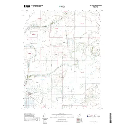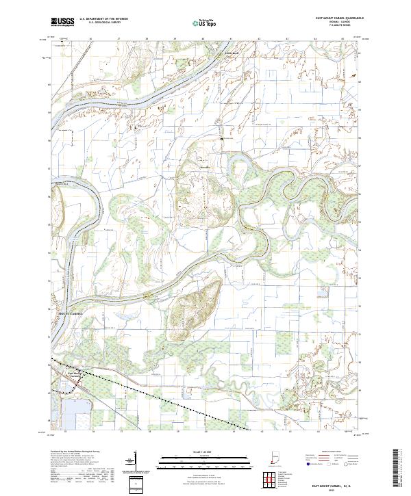
2022 Map of East Mount Carmel
USGS Topo · Published 2022About this map
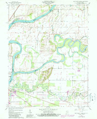
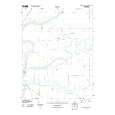
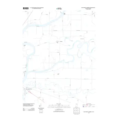
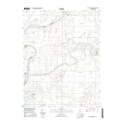
The confluence of the Wabash River and White River creates a complex landscape of shifting channels and lowlands along the Illinois and Indiana border. Centered on East Mount Carmel, this area is defined by its hydraulic character, where the Patoka River joins the system near several prominent wetlands including Cypress Swamps and Maucks Pond. The terrain transitions from the river bottomlands to the Orrville Hills and Gordon Hills, which provided higher ground for local burials at the Orrville Cem and Scott Chapel Cem.
Find a feature on this map
79 named features on this map. Tap any name to fly to it.
Don’t see what you’re looking for? This feature index may not catch every label — zoom into the map to look around manually.
Map Details
Editions of this 2022 East Mount Carmel Map
This is the sole edition of this map. No revisions or reprints were ever made.
Historical Maps of Mount Carmel Through Time
6 maps found