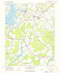
1944 Map of East New Market
USGS Topo · Published 1976About this map
The Choptank River forms the western boundary of this Dorchester County landscape, where the Warwick River and Goose Creek feed into its broad waters at Jamaica Point. Small, scattered settlements such as Secretary, East New Market, and Linkwood are connected by a road network and the Penn Central railroad lines. This mid-century survey reflects a rural Eastern Shore economy shaped by water and rail, visible in the numerous millponds like Higgins Millpond and Big Millpond that dot the southern reaches.
Find a feature on this map
35 named features on this map. Tap any name to fly to it.
Don’t see what you’re looking for? This feature index may not catch every label — zoom into the map to look around manually.
Map Details
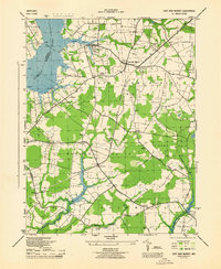
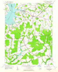
Editions of this 1944 East New Market Map
3 editions found
Other maps of this area

1898 · Choptank
USGS Topo · 1:125,000

1898 · St. Marys
USGS Topo · 1:125,000

1903 · Nanticoke
USGS Topo · 1:62,500

1904 · Oxford
USGS Topo · 1:62,500

1905 · Crapo
USGS Topo · 1:62,500

1905 · Hurlock
USGS Topo · 1:62,500

1906 · St. Marys
USGS Topo · 1:125,000

1908 · Choptank
USGS Topo · 1:125,000
1942 · Trappe
USGS Topo · 1:24,000

1942 · Mardela Springs
USGS Topo · 1:24,000