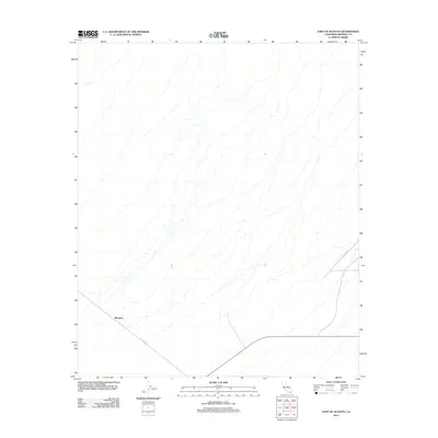
2012 Map of East of Acolita
USGS Topo · Published 2012About this map
Mesquite stands as the primary named point of interest in this desert landscape of Imperial County, located just a few years into the new millennium. The area is defined by its network of drainage washes that carve through the arid terrain, illustrating the natural water-flow patterns characteristic of this region. The infrastructure is minimal, consisting of just a handful of established routes that cut across the territory. Ted Kipf Rd and Zappone Rd provide the essential vehicular links through this remote expanse, while State Route 78 serves as the southern anchor for the quadrangle. This 2012 survey documents the sparse settlement pattern and the relationship between modern roadway engineering and the desert's seasonal drainage channels.
Find a feature on this map
3 named features on this map. Tap any name to fly to it.
Don’t see what you’re looking for? This feature index may not catch every label — zoom into the map to look around manually.
Map Details
Editions of this 2012 East of Acolita Map
This is the sole edition of this map. No revisions or reprints were ever made.
Other maps of this area
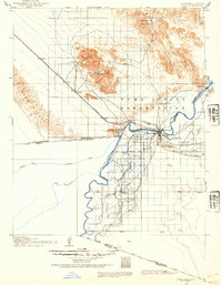
1903 · Yuma
USGS Topo · 1:125,000
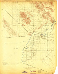
1905 · Yuma
USGS Topo · 1:125,000
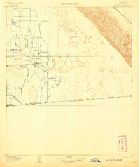
1907 · Holtville
USGS Topo · 1:125,000
1942 · El Centro
USGS Topo · 1:250,000
1942 · Yuma
USGS Topo · 1:250,000

1942 · Blythe
USGS Topo · 1:250,000
1953 · Quartz Peak
USGS Topo · 1:62,500
1953 · Ogilby
USGS Topo · 1:62,500
1953 · Acolita
USGS Topo · 1:24,000
1953 · Acolita
USGS Topo · 1:62,500