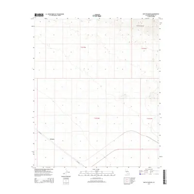
2015 Map of East of Acolita
USGS Topo · Published 2015About this map
The arid expanse of the Colorado Desert in Imperial County unfolds across this 2015 study, dominated by the stark topography of the Chocolate Mountains in the northeast. The landscape is defined by its remote character and the rigid lines of the Public Land Survey System, with the settlement of Mesquite situated near the intersection of various desert tracks. Transportation through this southern California wilderness is primarily facilitated by Ted Kipf Rd, which cuts diagonally across the western sections of the map. This survey provides a modern record of the region's township and range divisions, specifically marking the boundaries of t12s r18e, t12s r19e, t13s r18e, and t13s r19e, which are essential for tracing land ownership and historical boundaries in this part of the California desert.
Find a feature on this map
7 named features on this map. Tap any name to fly to it.
Don’t see what you’re looking for? This feature index may not catch every label — zoom into the map to look around manually.
Map Details
Editions of this 2015 East of Acolita Map
This is the sole edition of this map. No revisions or reprints were ever made.
Other maps of this area
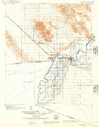
1903 · Yuma
USGS Topo · 1:125,000
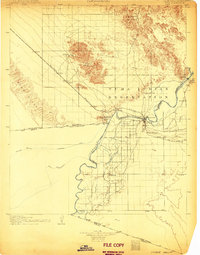
1905 · Yuma
USGS Topo · 1:125,000
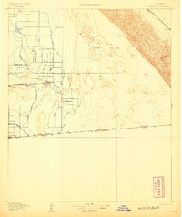
1907 · Holtville
USGS Topo · 1:125,000
1942 · El Centro
USGS Topo · 1:250,000
1942 · Yuma
USGS Topo · 1:250,000

1942 · Blythe
USGS Topo · 1:250,000
1953 · Quartz Peak
USGS Topo · 1:62,500
1953 · Ogilby
USGS Topo · 1:62,500
1953 · Acolita
USGS Topo · 1:24,000
1953 · Acolita
USGS Topo · 1:62,500