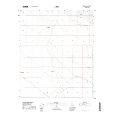
2018 Map of East of Acolita
USGS Topo · Published 2018About this map
Mesquite sits at the heart of this desert landscape in Imperial County, situated between the arid lowlands and the southern edges of the Chocolate Mountains. This 2018 survey documents a remote corridor defined by the grid lines of the Public Land Survey System and a handful of significant desert tracks. Transport and access are limited to a few named routes, including Ted Kipp Rd and Bull Rd, which navigate the open terrain and serve the sparsely populated township blocks. The map reflects a modern view of the region, preserving the namesake features of the California desert before further development or shifts in land use.
Find a feature on this map
10 named features on this map. Tap any name to fly to it.
Don’t see what you’re looking for? This feature index may not catch every label — zoom into the map to look around manually.
Map Details
Editions of this 2018 East of Acolita Map
This is the sole edition of this map. No revisions or reprints were ever made.
Other maps of this area
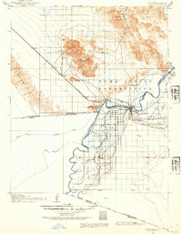
1903 · Yuma
USGS Topo · 1:125,000
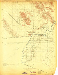
1905 · Yuma
USGS Topo · 1:125,000
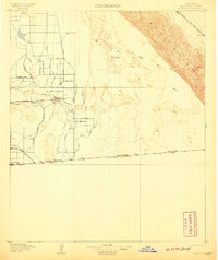
1907 · Holtville
USGS Topo · 1:125,000
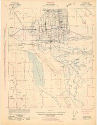
1942 · El Centro
USGS Topo · 1:250,000
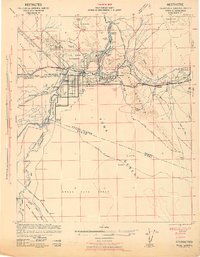
1942 · Yuma
USGS Topo · 1:250,000

1942 · Blythe
USGS Topo · 1:250,000
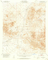
1953 · Quartz Peak
USGS Topo · 1:62,500
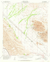
1953 · Ogilby
USGS Topo · 1:62,500
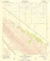
1953 · Acolita
USGS Topo · 1:24,000
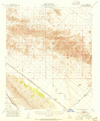
1953 · Acolita
USGS Topo · 1:62,500