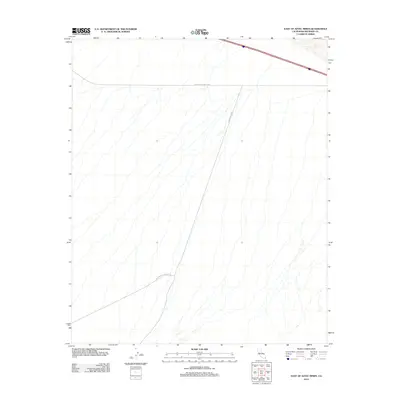
2012 Map of East of Aztec Mines
USGS Topo · Published 2012About this map
Chuckwalla Valley Rd stretches across this arid stretch of Riverside County, illustrating the sparse but critical network of desert routes in the early 21st century. This 2012 survey by the U.S. Geological Survey reveals a landscape defined by expansive drainage patterns and ephemeral washes that cut through the terrain. The map serves as a detailed record of the desert's infrastructure, highlighting the junction of Graham Pass Rd and the path of Chuckwalla Springs Rd as they navigate the basin. These trails and unimproved roads represent the primary human imprint on an otherwise remote environment, providing essential navigation for those traversing the region toward the nearby mountains and mining districts.
Find a feature on this map
3 named features on this map. Tap any name to fly to it.
Don’t see what you’re looking for? This feature index may not catch every label — zoom into the map to look around manually.
Map Details
Editions of this 2012 East of Aztec Mines Map
This is the sole edition of this map. No revisions or reprints were ever made.
Other maps of this area

1942 · Blythe
USGS Topo · 1:250,000
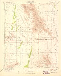
1952 · Mc Coy Spring
USGS Topo · 1:62,500
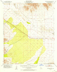
1952 · Sidewinder Well
USGS Topo · 1:62,500
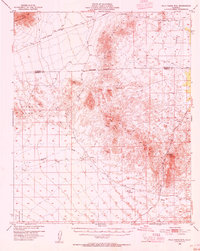
1953 · Palo Verde Mountains
USGS Topo · 1:62,500
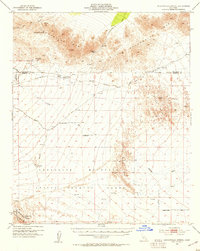
1953 · Chuckwalla Spring
USGS Topo · 1:62,500

1954 · Salton Sea
USGS Topo · 1:250,000

1955 · Salton Sea
USGS Topo · 1:250,000
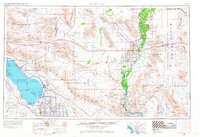
1959 · Salton Sea
USGS Topo · 1:250,000
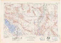
1963 · Salton Sea
USGS Topo · 1:250,000
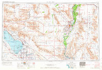
1965 · Salton Sea
USGS Topo · 1:250,000