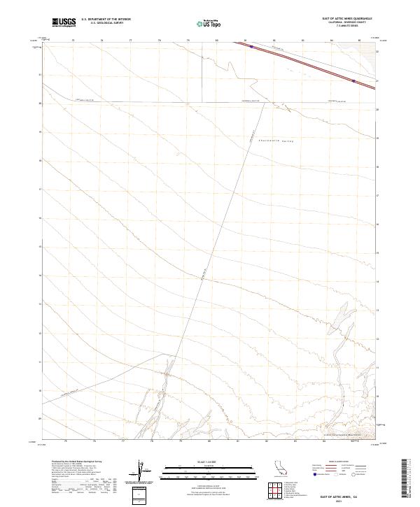
2021 Map of East of Aztec Mines
USGS Topo · Published 2021About this map
Chuckwalla Valley occupies the heart of this desert landscape, framed to the south by the rising slopes of the Little Chuckwalla Mountains. This 2021 survey reveals a territory primarily defined by its drainage patterns and the network of unpaved desert routes that cross it. Graham Pass Rd serves as a primary north-south axis, intersecting with Chuckwalla Valley Rd and Chuckwalla Springs Rd to provide access through the arid basin. The land is precisely partitioned by public land survey system boundaries, including t7s r18e and t7s r19e, which mark the vast open spaces of Riverside County. These surveyed sections reveal how contemporary land management overlays the natural geography of the basin and the Palen Dunes Dr area.
Find a feature on this map
12 named features on this map. Tap any name to fly to it.
Don’t see what you’re looking for? This feature index may not catch every label — zoom into the map to look around manually.
Map Details
Editions of this 2021 East of Aztec Mines Map
This is the sole edition of this map. No revisions or reprints were ever made.
Other maps of this area

1942 · Blythe
USGS Topo · 1:250,000

1952 · Mc Coy Spring
USGS Topo · 1:62,500

1952 · Sidewinder Well
USGS Topo · 1:62,500

1953 · Palo Verde Mountains
USGS Topo · 1:62,500

1953 · Chuckwalla Spring
USGS Topo · 1:62,500

1954 · Salton Sea
USGS Topo · 1:250,000

1955 · Salton Sea
USGS Topo · 1:250,000

1959 · Salton Sea
USGS Topo · 1:250,000

1963 · Salton Sea
USGS Topo · 1:250,000

1965 · Salton Sea
USGS Topo · 1:250,000