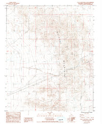
1985 Map of East of Broadwell Lake
USGS Topo · Published 1993About this map
The Bristol Mountains dominate this high-desert landscape in San Bernardino County, where the terrain is marked by rugged elevation changes and natural drainage systems like the local Wash. This mid-1980s survey captures a workspace defined by resource extraction and infrastructure, evidenced by scattered mining activity labeled as Prospect and Prospects in the northern reaches. The introduction of modern utility corridors is a prominent feature, with a massive Pipeline and a Trans Line cutting west to east across the desert floor. This alignment of industrial utility lines alongside traditional mining claims illustrates the evolution of the California desert from a frontier of small-scale mineral exploration to a critical corridor for regional energy and water transmission.
Find a feature on this map
7 named features on this map. Tap any name to fly to it.
Don’t see what you’re looking for? This feature index may not catch every label — zoom into the map to look around manually.
Map Details
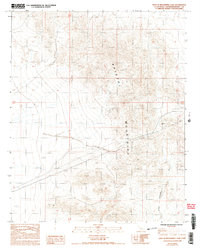
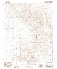
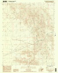
Editions of this 1985 East of Broadwell Lake Map
4 editions found
Other maps of this area

1942 · Amboy
USGS Topo · 1:250,000

1943 · Amboy
USGS Topo · 1:250,000

1953 · San Bernardino
USGS Topo · 1:250,000

1954 · Needles
USGS Topo · 1:250,000

1955 · Ludlow
USGS Topo · 1:24,000

1955 · Ash Hill
USGS Topo · 1:24,000

1955 · Broadwell Lake
USGS Topo · 1:62,500

1955 · Ludlow
USGS Topo · 1:62,500

1956 · San Bernardino
USGS Topo · 1:250,000

1956 · Needles
USGS Topo · 1:250,000