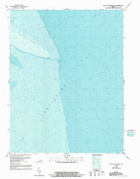
1986 Map of East of Deltaville
USGS Topo · Published 1992About this map
Rappahannock Spit reaches into the open waters of the Chesapeake Bay in this specialized bathymetric study of the Virginia coastline. This edition, based on National Ocean Service hydrographic surveys dating back to the 1950s, focuses almost exclusively on the underwater topography and shoreline morphology of the bay. The map provides precise depth measurements and contours that reveal the submerged landscape where the river mouth meets the estuary, an area characterized by shifting shoals and maritime transition.
Find a feature on this map
2 named features on this map. Tap any name to fly to it.
Don’t see what you’re looking for? This feature index may not catch every label — zoom into the map to look around manually.
Map Details
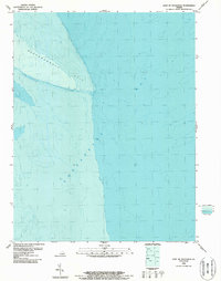
Editions of this 1986 East of Deltaville Map
2 editions found
Other maps of this area

1916 · Kilmarnock
USGS Topo · 1:48,000

1916 · Mathews
USGS Topo · 1:62,500

1917 · Kilmarnock
USGS Topo · 1:62,500

1917 · Mathews
USGS Topo · 1:62,500

1942 · Kilmarnock
USGS Topo · 1:62,500

1943 · Richmond
USGS Topo · 1:250,000

1948 · Deltaville
USGS Topo · 1:24,000

1948 · Mathews
USGS Topo · 1:24,000
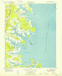
1949 · Fleets Bay
USGS Topo · 1:24,000

1949 · Richmond
USGS Topo · 1:250,000