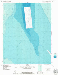
1986 Map of East of Fleets Bay
USGS Topo · Published 1987About this map
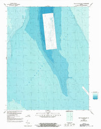
Chesapeake Bay waters dominate this bathymetric study, revealing the underwater topography east of Fleets Bay during the mid-1980s. A prominent Disposal Area occupies the central portion of the sheet, marked by artificial relief that contrasts with the surrounding natural depths. Near the southeastern corner, a deeper Channel provides a glimpse into the maritime pathways used by vessels navigating these coastal Virginia waters. Compiled by the National Ocean Service and the Geological Survey, the map utilizes tide-coordinated hydrographic surveys to chart the floor of the bay, providing essential data on submerged terrain and sediment management sites for the period.
Find a feature on this map
3 named features on this map. Tap any name to fly to it.
Don’t see what you’re looking for? This feature index may not catch every label — zoom into the map to look around manually.
Map Details
Editions of this 1986 East of Fleets Bay Map
2 editions found
Other maps of this area

1916 · Kilmarnock
USGS Topo · 1:48,000

1917 · Heathsville
USGS Topo · 1:48,000

1917 · Kilmarnock
USGS Topo · 1:62,500

1917 · Ewell
USGS Topo · 1:62,500

1942 · Kilmarnock
USGS Topo · 1:62,500

1943 · Richmond
USGS Topo · 1:250,000

1944 · Reedville
USGS Topo · 1:31,680

1948 · Deltaville
USGS Topo · 1:24,000
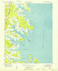
1949 · Fleets Bay
USGS Topo · 1:24,000

1949 · Richmond
USGS Topo · 1:250,000