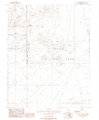
1987 Map of East of Goldfield
USGS Topo · Published 1988About this map
The Goldfield Hills dominate the western edge of this desert landscape, characterized by a high concentration of mineral exploration markings. The terrain is peppered with numerous Mine Shafts, Prospects, and Adits, reflecting an era of intense geological investigation. These workings are clustered primarily along the eastern slopes of the hills, leading down toward a vast arid basin.
Find a feature on this map
13 named features on this map. Tap any name to fly to it.
Don’t see what you’re looking for? This feature index may not catch every label — zoom into the map to look around manually.
Map Details
Editions of this 1987 East of Goldfield Map
This is the sole edition of this map. No revisions or reprints were ever made.
Other maps of this area

1908 · Kawich
USGS Topo · 1:250,000

1908 · Lida
USGS Topo · 1:250,000

1913 · Lida
USGS Topo · 1:250,000

1942 · Cactus Range
USGS Topo · 1:125,000

1945 · Goldfield
USGS Topo · 1:125,000

1952 · Cactus Spring
USGS Topo · 1:62,500

1952 · Mud Lake
USGS Topo · 1:62,500

1952 · Goldfield
USGS Topo · 1:62,500

1952 · Cactus Peak
USGS Topo · 1:62,500

1954 · Goldfield
USGS Topo · 1:250,000