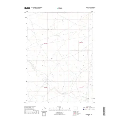
2017 Map of East of Haybarn Hill
USGS Topo · Published 2017About this map
Muskrat Creek winds through this arid expanse of central Wyoming, carving a path through the high plains of Fremont County. The terrain is defined by the prominent elevation of Squaw Butte, a landmark standing amidst a network of drainage patterns and intermittent watercourses. In the southeastern portion of the quadrangle, the landscape transitions into the distinct topography of Chalk Hills Draw. This survey represents the modern configuration of the Public Land Survey System, showing the township and range lines of t36n r92w, t36n r91w, t35n r92w, and t35n r91w. The map illustrates a largely open landscape where natural features and livestock-related infrastructure dominate the few human alterations to the high desert environment.
Find a feature on this map
7 named features on this map. Tap any name to fly to it.
Don’t see what you’re looking for? This feature index may not catch every label — zoom into the map to look around manually.
Map Details
Editions of this 2017 East of Haybarn Hill Map
This is the sole edition of this map. No revisions or reprints were ever made.
Other maps of this area
1952 · Seventy-one Reservoir
USGS Topo · 1:24,000
1952 · Squaw Butte NE
USGS Topo · 1:24,000
1952 · Squaw Butte
USGS Topo · 1:24,000
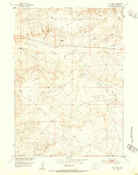
1952 · Ocla Draw
USGS Topo · 1:24,000
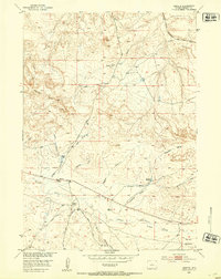
1952 · Moneta
USGS Topo · 1:24,000
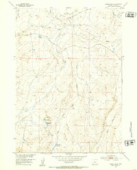
1952 · Double Butte
USGS Topo · 1:24,000
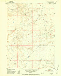
1952 · Haybarn Hill
USGS Topo · 1:24,000
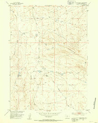
1952 · Love Ranch
USGS Topo · 1:24,000
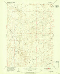
1952 · Butte Well
USGS Topo · 1:24,000

1955 · Arminto
USGS Topo · 1:250,000