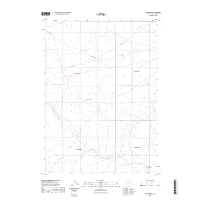
2021 Map of East of Haybarn Hill
USGS Topo · Published 2021About this map
Squaw Butte dominates the central landscape of this Fremont County quadrangle, rising above a high-desert expanse defined by seasonal drainages and ranch access roads. The southern portion of the map is shaped by the winding course of Muskrat Creek and the low-lying Chalk Hills Draw, providing critical water resources in an otherwise arid environment. Ranching infrastructure is the primary human footprint here, with Davison Ranch Rd and Scotty Clark Rd marking the essential transit corridors between grazing lands. The area reflects a sparse, large-scale land management pattern typical of central Wyoming, where geographic features like the butte served as vital landmarks for early travelers and homesteaders navigating the open range.
Find a feature on this map
9 named features on this map. Tap any name to fly to it.
Don’t see what you’re looking for? This feature index may not catch every label — zoom into the map to look around manually.
Map Details
Editions of this 2021 East of Haybarn Hill Map
This is the sole edition of this map. No revisions or reprints were ever made.
Other maps of this area
1952 · Seventy-one Reservoir
USGS Topo · 1:24,000
1952 · Squaw Butte NE
USGS Topo · 1:24,000
1952 · Squaw Butte
USGS Topo · 1:24,000
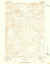
1952 · Ocla Draw
USGS Topo · 1:24,000
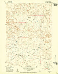
1952 · Moneta
USGS Topo · 1:24,000
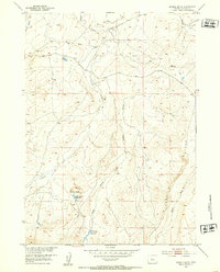
1952 · Double Butte
USGS Topo · 1:24,000
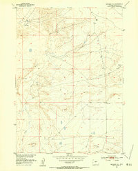
1952 · Haybarn Hill
USGS Topo · 1:24,000
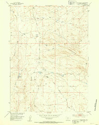
1952 · Love Ranch
USGS Topo · 1:24,000
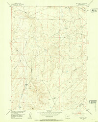
1952 · Butte Well
USGS Topo · 1:24,000

1955 · Arminto
USGS Topo · 1:250,000