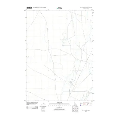
2010 Map of East of Howe Peak
USGS Topo · Published 2010About this map
The Big Lost River meanders through this portion of Butte County, Idaho, defining a landscape shaped by intermittent water and high-desert infrastructure. This 2010 survey illustrates the transition from open range to the geometric precision of the Idaho Coordinate System, where transit corridors like Lincoln Blvd and W Monument Line Rd cut across the arid terrain. The alignment of Howe Rd and Stage Rd suggests the historical movement of people and goods across this basin, connecting the area to broader regional networks. For those studying the modernization of the Idaho backcountry, the map reveals how water management and road development converge in this sparsely populated high-altitude environment.
Find a feature on this map
6 named features on this map. Tap any name to fly to it.
Don’t see what you’re looking for? This feature index may not catch every label — zoom into the map to look around manually.
Map Details
Editions of this 2010 East of Howe Peak Map
This is the sole edition of this map. No revisions or reprints were ever made.
Other maps of this area

1955 · Idaho Falls
USGS Topo · 1:250,000

1958 · Idaho Falls
USGS Topo · 1:250,000

1969 · Little Lost River Sinks
USGS Topo · 1:24,000

1969 · Howe
USGS Topo · 1:24,000

1969 · Big Lost River Sinks
USGS Topo · 1:24,000

1972 · Arco Hills SE
USGS Topo · 1:24,000

1972 · Howe Peak
USGS Topo · 1:24,000

1973 · Circular Butte 3 NE
USGS Topo · 1:24,000

1973 · Circular Butte 3 SW
USGS Topo · 1:24,000

1973 · Circular Butte 3 SE
USGS Topo · 1:24,000