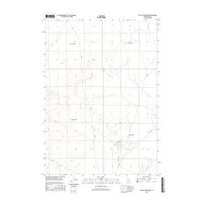
2017 Map of East of Howe Peak
USGS Topo · Published 2017About this map
Big Lost River defines the eastern edge of this high-desert landscape in Butte County, appearing as a meandering seasonal watercourse amidst the arid expanse. The map illustrates a transition from the natural river drainage to a more structured grid of rural infrastructure. Essential arterial routes such as Howe Rd and Stage Rd cut across the township lines of t5n r29e and t4n r30e, marking the movement of people and resources through this part of the Idaho desert. Near the southern edge, the intersection of Lincoln Blvd and Washington Blvd indicates a focal point for local connectivity and utility. This 2017 survey provides a detailed look at the modern rural layout, where traditional naming conventions like Shell Road reflect the geography of a terrain shaped by ancient volcanic and alluvial processes.
Find a feature on this map
10 named features on this map. Tap any name to fly to it.
Don’t see what you’re looking for? This feature index may not catch every label — zoom into the map to look around manually.
Map Details
Editions of this 2017 East of Howe Peak Map
This is the sole edition of this map. No revisions or reprints were ever made.
Other maps of this area
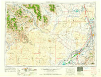
1955 · Idaho Falls
USGS Topo · 1:250,000
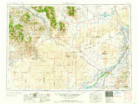
1958 · Idaho Falls
USGS Topo · 1:250,000
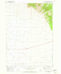
1969 · Little Lost River Sinks
USGS Topo · 1:24,000
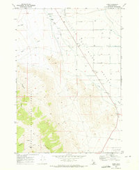
1969 · Howe
USGS Topo · 1:24,000
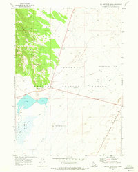
1969 · Big Lost River Sinks
USGS Topo · 1:24,000
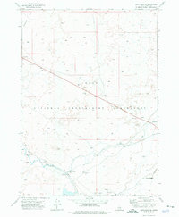
1972 · Arco Hills SE
USGS Topo · 1:24,000
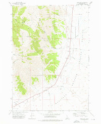
1972 · Howe Peak
USGS Topo · 1:24,000
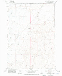
1973 · Circular Butte 3 NE
USGS Topo · 1:24,000
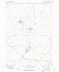
1973 · Circular Butte 3 SW
USGS Topo · 1:24,000
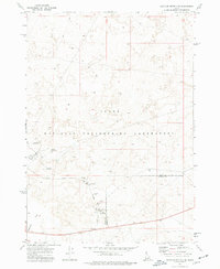
1973 · Circular Butte 3 SE
USGS Topo · 1:24,000