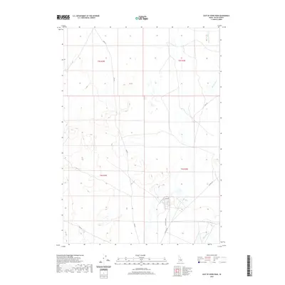
2020 Map of East of Howe Peak
USGS Topo · Published 2020About this map
The Big Lost River winds through this section of Butte County, Idaho, providing a stark hydrological contrast to the surrounding high-desert environment. This 2020 map documents the transition between the valley floor and the rising slopes of the Lost River Range to the west. A modest but critical network of local transit routes, including Howe Rd and Lincoln Blvd, connects the scattered agricultural and industrial outposts of the region. The map’s rectilinear public land survey system, including townships t5n r29e and t4n r30e, reflects the orderly division of this wide-open landscape, where the presence of Washington Blvd hints at modern infrastructure development and industrial footprint in an otherwise sparse interior.
Find a feature on this map
10 named features on this map. Tap any name to fly to it.
Don’t see what you’re looking for? This feature index may not catch every label — zoom into the map to look around manually.
Map Details
Editions of this 2020 East of Howe Peak Map
This is the sole edition of this map. No revisions or reprints were ever made.
Other maps of this area
1955 · Idaho Falls
USGS Topo · 1:250,000
1958 · Idaho Falls
USGS Topo · 1:250,000
1969 · Little Lost River Sinks
USGS Topo · 1:24,000
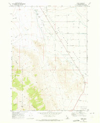
1969 · Howe
USGS Topo · 1:24,000
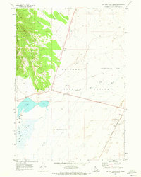
1969 · Big Lost River Sinks
USGS Topo · 1:24,000
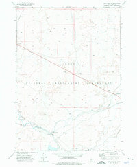
1972 · Arco Hills SE
USGS Topo · 1:24,000
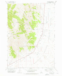
1972 · Howe Peak
USGS Topo · 1:24,000
1973 · Circular Butte 3 NE
USGS Topo · 1:24,000
1973 · Circular Butte 3 SW
USGS Topo · 1:24,000
1973 · Circular Butte 3 SE
USGS Topo · 1:24,000