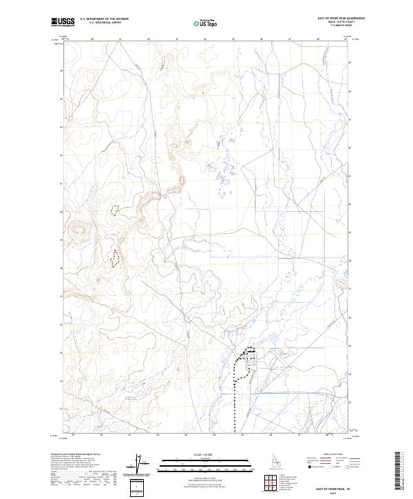
2023 Map of East of Howe Peak
USGS Topo · Published 2023About this map
The Big Lost River winds through the eastern edge of this high-altitude landscape in Butte County, defining the drainage patterns for this arid region. The terrain is structured by a network of utilitarian roads that suggest the area's role in regional transit and local land management. Routes such as Howe Rd and Shell Rd cross the northern sections, while the southern portion of the quadrangle features a more developed road grid including Lincoln Blvd and Washington Blvd. This infrastructure serves the open spaces between the mountain peaks to the west and the river to the east. The map provides a detailed view of the township and range system, specifically the intersection of T4N and T5N across ranges R29E and R30E, revealing how the land was surveyed and divided for modern use.
Find a feature on this map
10 named features on this map. Tap any name to fly to it.
Don’t see what you’re looking for? This feature index may not catch every label — zoom into the map to look around manually.
Map Details
Editions of this 2023 East of Howe Peak Map
This is the sole edition of this map. No revisions or reprints were ever made.
Other maps of this area

1955 · Idaho Falls
USGS Topo · 1:250,000

1958 · Idaho Falls
USGS Topo · 1:250,000

1969 · Little Lost River Sinks
USGS Topo · 1:24,000

1969 · Howe
USGS Topo · 1:24,000

1969 · Big Lost River Sinks
USGS Topo · 1:24,000

1972 · Arco Hills SE
USGS Topo · 1:24,000

1972 · Howe Peak
USGS Topo · 1:24,000

1973 · Circular Butte 3 NE
USGS Topo · 1:24,000

1973 · Circular Butte 3 SW
USGS Topo · 1:24,000

1973 · Circular Butte 3 SE
USGS Topo · 1:24,000