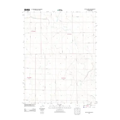
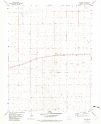
2013 Map of East of Lewis Lake
USGS Topo · Published 2013About this map
Big Sandy Creek meanders through the arid plains of Cheyenne County, creating a distinct riparian corridor through the high-plains landscape. This part of eastern Colorado is defined by its rectilinear grid of rural routes, including CO Road K and CO Road B, which facilitate movement between sparse agricultural holdings. The intersection of Big Spring Creek and the larger Big Sandy drainage highlights the critical role of intermittent water sources in this environment. The map details the Public Land Survey System divisions, including Township 15 South, Range 47 West, illustrating how the land was partitioned for homesteading and grazing. For researchers, this document provides a precise look at the drainage patterns and the network of county roads that continue to serve as the primary infrastructure for this remote agricultural region.
Find a feature on this map
15 named features on this map. Tap any name to fly to it.
Don’t see what you’re looking for? This feature index may not catch every label — zoom into the map to look around manually.
Map Details
Editions of this 2013 East of Lewis Lake Map
This is the sole edition of this map. No revisions or reprints were ever made.
Other maps of this area
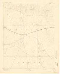
1891 · Kit Carson
USGS Topo · 1:125,000
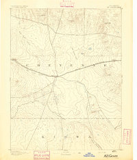
1893 · Kit Carson
USGS Topo · 1:125,000

1954 · Lamar
USGS Topo · 1:250,000

1958 · Lamar
USGS Topo · 1:250,000
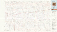
1981 · Cheyenne Wells
USGS Topo · 1:100,000
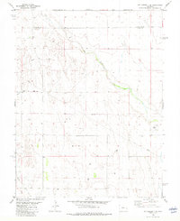
1982 · Kit Carson 4 SE
USGS Topo · 1:24,000
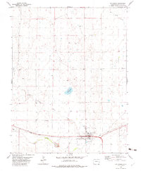
1982 · Kit Carson
USGS Topo · 1:24,000
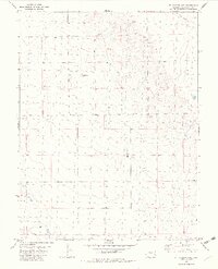
1982 · Kit Carson 4 NE
USGS Topo · 1:24,000
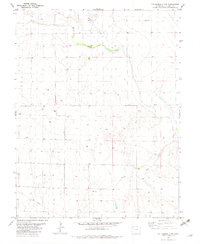
1982 · Kit Carson 4 NW
USGS Topo · 1:24,000
1982 · Firstview
USGS Topo · 1:24,000