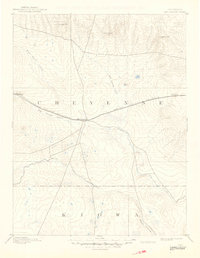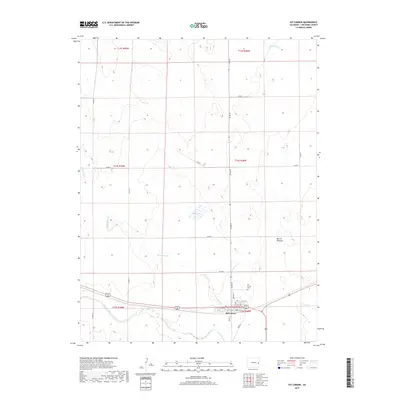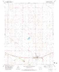
1982 Map of Kit Carson
USGS Topo · Published 1982About this map
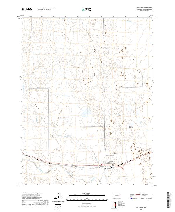
Kit Carson serves as the central hub of this eastern Colorado landscape, situated at the confluence of several significant watercourses and transport routes. The town is defined by its agricultural and transit infrastructure, including prominent Grain Elevators and Storage Bins that speak to the local wheat and grain economy. The Union Pacific railroad cuts through the southern portion of the quadrangle, paralleled by an Old Railroad Grade that suggests earlier configurations of the region's rail network.
Find a feature on this map
18 named features on this map. Tap any name to fly to it.
Don’t see what you’re looking for? This feature index may not catch every label — zoom into the map to look around manually.
Map Details
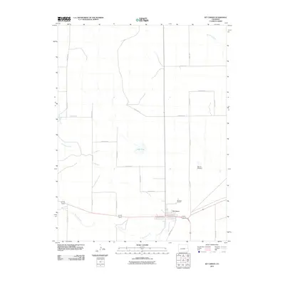
Editions of this 1982 Kit Carson Map
This is the sole edition of this map. No revisions or reprints were ever made.
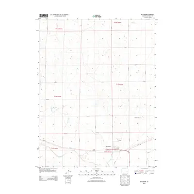
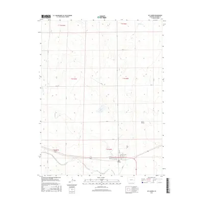
Historical Maps of Kit Carson Through Time
8 maps found