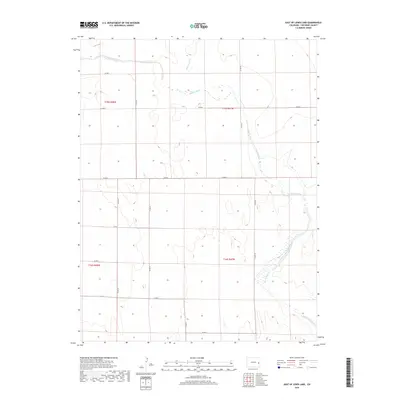
2019 Map of East of Lewis Lake
USGS Topo · Published 2019About this map
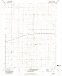
Big Sandy Creek winds through the arid high plains of Cheyenne County, carving a wide, intermittent drainage basin through the landscape. This 2019 survey captures the quiet isolation of the eastern Colorado plains, where the water systems of Big Sandy Cr and Big Spring Cr provide the primary geographic relief. The map reveals a highly structured rural landscape defined by the Public Land Survey System, with township boundaries like t15s r47w and t16s r48w organizing the terrain into distinct sections. A sparse but functional network of county roads, including Co Rd X and Co Rd J, cuts across the vast open country, following the section lines and connecting the distant reaches of the county. The mapping details the delicate wetlands and drainage patterns that characterize this portion of the western steppe.
Find a feature on this map
14 named features on this map. Tap any name to fly to it.
Don’t see what you’re looking for? This feature index may not catch every label — zoom into the map to look around manually.
Map Details
Editions of this 2019 East of Lewis Lake Map
This is the sole edition of this map. No revisions or reprints were ever made.
Other maps of this area
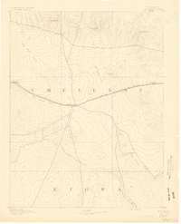
1891 · Kit Carson
USGS Topo · 1:125,000
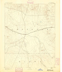
1893 · Kit Carson
USGS Topo · 1:125,000

1954 · Lamar
USGS Topo · 1:250,000

1958 · Lamar
USGS Topo · 1:250,000
1981 · Cheyenne Wells
USGS Topo · 1:100,000
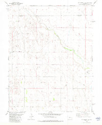
1982 · Kit Carson 4 SE
USGS Topo · 1:24,000
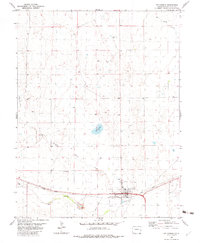
1982 · Kit Carson
USGS Topo · 1:24,000
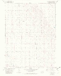
1982 · Kit Carson 4 NE
USGS Topo · 1:24,000
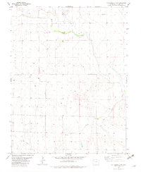
1982 · Kit Carson 4 NW
USGS Topo · 1:24,000
1982 · Firstview
USGS Topo · 1:24,000