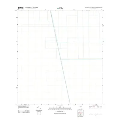
2012 Map of East of Little Cypress Swamp
USGS Topo · Published 2012About this map
The vast, managed wetlands of Palm Beach County are defined by large-scale water management infrastructure in this 2012 survey. The Miami Canal cuts a linear path through the landscape, serving as a primary hydrological artery for the region. Parallel to this waterway, Miami Canal Rd provides a straight terrestrial route through the open terrain. This map highlights the highly engineered nature of the Florida Everglades' drainage and flood control systems, featuring the prominent Levee 23. The absence of traditional town centers or residential settlements underscores the area's primary use for conservation, water storage, or large-scale agricultural buffer zones. For researchers of South Florida history, these markers represent the mid-to-late 20th-century efforts to regulate the flow of the Everglades.
Find a feature on this map
3 named features on this map. Tap any name to fly to it.
Don’t see what you’re looking for? This feature index may not catch every label — zoom into the map to look around manually.
Map Details
Editions of this 2012 East of Little Cypress Swamp Map
This is the sole edition of this map. No revisions or reprints were ever made.
Other maps of this area

1956 · West Palm Beach
USGS Topo · 1:250,000

1957 · West Palm Beach
USGS Topo · 1:250,000

1958 · West Palm Beach
USGS Topo · 1:250,000
1970 · Lake Harbor SE
USGS Topo · 1:24,000
1970 · Lake Harbor SW
USGS Topo · 1:24,000
1970 · Okeelanta
USGS Topo · 1:24,000
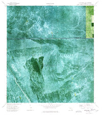
1974 · Everglades 1 SW
USGS Topo · 1:24,000
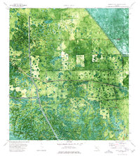
1974 · Everglades 2 SW
USGS Topo · 1:24,000
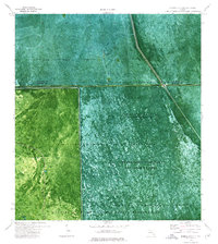
1974 · Everglades 2 SE
USGS Topo · 1:24,000
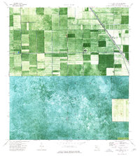
1974 · Everglades 1 NW
USGS Topo · 1:24,000