
1974 Map of Everglades 2 SE
USGS Topo · Published 1976About this map
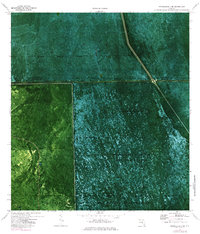
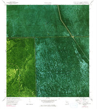
The Big Cypress Seminole Indian Reservation and Florida State Miccosukee Indian Reservation meet in this 1970s orthophotomap of the Florida interior. This specialized survey, which uses an aerial photo base, reveals the distinct hydrological and political divisions of the region. The map shows the engineered management of the landscape through features like Levee 28 and Pump Station No 8.
Find a feature on this map
13 named features on this map. Tap any name to fly to it.
Don’t see what you’re looking for? This feature index may not catch every label — zoom into the map to look around manually.
Map Details
Editions of this 1974 Everglades 2 SE Map
3 editions found
Other maps of this area

1956 · West Palm Beach
USGS Topo · 1:250,000

1957 · West Palm Beach
USGS Topo · 1:250,000

1958 · West Palm Beach
USGS Topo · 1:250,000

1973 · Everglades 4 NW
USGS Topo · 1:24,000

1973 · Everglades 3 NE
USGS Topo · 1:24,000

1974 · Everglades 1 SW
USGS Topo · 1:24,000

1974 · Everglades 2 SW
USGS Topo · 1:24,000

1974 · Everglades 1 NW
USGS Topo · 1:24,000
1974 · Everglades 2 NW
USGS Topo · 1:24,000
1974 · Everglades 3 NW
USGS Topo · 1:24,000