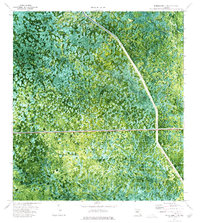
1974 Map of Everglades 3 NW
USGS Topo · Published 1976About this map
The Okaloacoochee Strand dominates this 1974 orthophotomap, showing the complex hydrology and vegetation of the southern Florida interior before extensive modern development. The sheet captures the boundary between Collier and Broward counties, a region defined by the vast Doctors Prairie and the slow-moving waters of Alligator Slough. Human intervention in this wetland environment is evident through the straight lines of the Levee 28 Interceptor Canal and the Everglades Parkway, which also appears labeled as a Toll Road.
Find a feature on this map
11 named features on this map. Tap any name to fly to it.
Don’t see what you’re looking for? This feature index may not catch every label — zoom into the map to look around manually.
Map Details
Editions of this 1974 Everglades 3 NW Map
Other maps of this area

1956 · West Palm Beach
USGS Topo · 1:250,000

1957 · West Palm Beach
USGS Topo · 1:250,000

1958 · West Palm Beach
USGS Topo · 1:250,000

1973 · Everglades 3 NE
USGS Topo · 1:24,000

1974 · Everglades 2 SW
USGS Topo · 1:24,000

1974 · Immokalee 1 SE
USGS Topo · 1:24,000

1974 · Everglades 2 SE
USGS Topo · 1:24,000
1974 · Everglades 3 SW
USGS Topo · 1:24,000
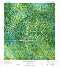
1974 · Immokalee 4 NE
USGS Topo · 1:24,000
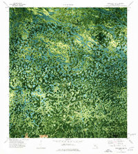
1974 · Immokalee 4 SE
USGS Topo · 1:24,000