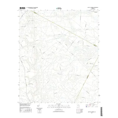
2017 Map of East of Ludowici
USGS Topo · Published 2017About this map
The coastal wetlands and lowlands of the S Newport River dominate this 2017 survey area at the borders of Liberty, Long, and McIntosh counties. In the northeast, the settlement of Riceboro stands near the headwaters of Payne Cr, while the surrounding landscape is defined by vast marshes and named rises like Stewart Isle and Jonas Island. This terrain reveals a distinct pattern of land use where private holdings and recreational interests overlap, evidenced by labels like the Thompson Hunting Club and the sprawling Sassafrass Plantation.
Find a feature on this map
51 named features on this map. Tap any name to fly to it.
Don’t see what you’re looking for? This feature index may not catch every label — zoom into the map to look around manually.
Map Details
Editions of this 2017 East of Ludowici Map
This is the sole edition of this map. No revisions or reprints were ever made.
Other maps of this area

1918 · Hinesville
USGS Topo · 1:62,500

1920 · Sapelo River
USGS Topo · 1:62,500

1920 · Limerick
USGS Topo · 1:62,500

1943 · Ludowici
USGS Topo · 1:62,500

1943 · Sapelo River
USGS Topo · 1:62,500

1944 · Hinesville
USGS Topo · 1:62,500

1944 · Limerick
USGS Topo · 1:62,500

1945 · Sapelo River
USGS Topo · 1:62,500

1946 · Brunswick
USGS Topo · 1:250,000

1948 · Brunswick
USGS Topo · 1:250,000