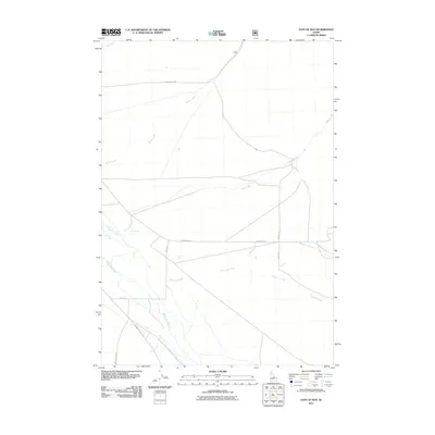
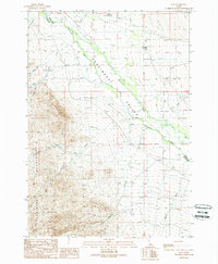
2011 Map of East of May
USGS Topo · Published 2011About this map
The Pahsimeroi River valley defines this landscape in eastern Custer County, where high-altitude watercourses descend from the surrounding mountains to the valley floor. The map documents a network of drainages including Morse Creek, Falls Creek, and Patterson Creek, which cut across the alluvial fans. Human settlement and ranching operations are traced through family-named thoroughfares such as Furey Ln and Wallis Ln, while broader access is maintained via Pahsimeroi Rd and Pahsimeroi Valley Rd. A notable intersection of land management is visible where the NFD 095 Trl enters the national forest boundary, marking the transition from the river basin to the upland wilderness area.
Find a feature on this map
14 named features on this map. Tap any name to fly to it.
Don’t see what you’re looking for? This feature index may not catch every label — zoom into the map to look around manually.
Map Details
Editions of this 2011 East of May Map
This is the sole edition of this map. No revisions or reprints were ever made.
Other maps of this area
1935 · Borah Peak
USGS Topo · 1:125,000
1938 · Borah Peak
USGS Topo · 1:125,000

1955 · Dubois
USGS Topo · 1:250,000
1956 · Patterson
USGS Topo · 1:62,500
1956 · Donkey Hills
USGS Topo · 1:62,500
1956 · Doublespring
USGS Topo · 1:62,500
1956 · May
USGS Topo · 1:62,500

1958 · Dubois
USGS Topo · 1:250,000
1980 · Leadore
USGS Topo · 1:100,000
1989 · May
USGS Topo · 1:24,000