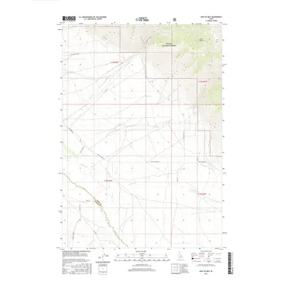
2017 Map of East of May
USGS Topo · Published 2017About this map
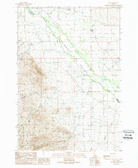
The Pahsimeroi River meanders across this high mountain valley where the Challis National Forest meets the steep western slopes of the Lemhi Range. This 2017 survey documents a landscape defined by ranching and agricultural infrastructure, featuring a network of local thoroughfares such as Farm To Market Rd and Pahsimeroi Rd. Numerous watercourses, including Morse Cr, Patterson Cr, and Falls Cr, flow out of the mountains to feed the river basin. The border between Lemhi and Custer counties cuts through the southwestern section, following the river's course. This map is particularly useful for identifying contemporary land use and the transition from protected forest land to private valley holdings.
Find a feature on this map
25 named features on this map. Tap any name to fly to it.
Don’t see what you’re looking for? This feature index may not catch every label — zoom into the map to look around manually.
Map Details
Editions of this 2017 East of May Map
This is the sole edition of this map. No revisions or reprints were ever made.
Other maps of this area
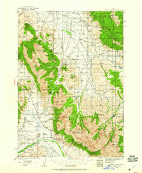
1935 · Borah Peak
USGS Topo · 1:125,000
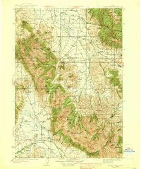
1938 · Borah Peak
USGS Topo · 1:125,000

1955 · Dubois
USGS Topo · 1:250,000
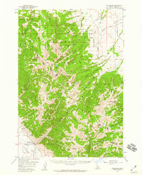
1956 · Patterson
USGS Topo · 1:62,500
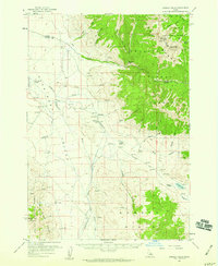
1956 · Donkey Hills
USGS Topo · 1:62,500
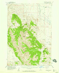
1956 · Doublespring
USGS Topo · 1:62,500
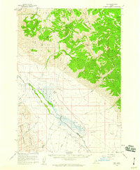
1956 · May
USGS Topo · 1:62,500

1958 · Dubois
USGS Topo · 1:250,000
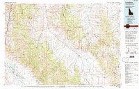
1980 · Leadore
USGS Topo · 1:100,000
1989 · May
USGS Topo · 1:24,000