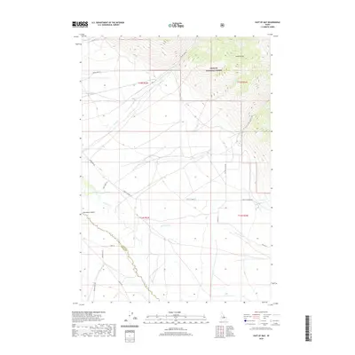
2020 Map of East of May
USGS Topo · Published 2020About this map
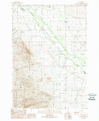
The Pahsimeroi Valley landscape is defined by the dramatic meeting of the high Lemhi Range and the basin of the Pahsimeroi River. This 2020 survey details a region where the Challis National Forest boundary transitions into a network of ranching and transit corridors, including the utilitarian Farm to Market Rd. The drainage patterns are clearly articulated by mountain-fed streams like Patterson Cr, Morse Cr, and Mahogany Cr, which descend from the high peaks toward the valley floor.
Find a feature on this map
25 named features on this map. Tap any name to fly to it.
Don’t see what you’re looking for? This feature index may not catch every label — zoom into the map to look around manually.
Map Details
Editions of this 2020 East of May Map
This is the sole edition of this map. No revisions or reprints were ever made.
Other maps of this area
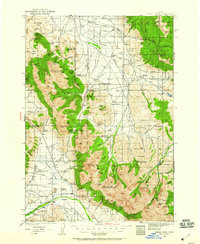
1935 · Borah Peak
USGS Topo · 1:125,000
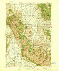
1938 · Borah Peak
USGS Topo · 1:125,000

1955 · Dubois
USGS Topo · 1:250,000
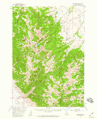
1956 · Patterson
USGS Topo · 1:62,500
1956 · Donkey Hills
USGS Topo · 1:62,500
1956 · Doublespring
USGS Topo · 1:62,500
1956 · May
USGS Topo · 1:62,500

1958 · Dubois
USGS Topo · 1:250,000
1980 · Leadore
USGS Topo · 1:100,000
1989 · May
USGS Topo · 1:24,000