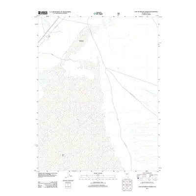
2011 Map of East of Millett Ranch
USGS Topo · Published 2011About this map
Spaulding Salt Marsh and the wide expanse of the Alkali Flat dominate this central Nevada landscape, illustrating the stark environmental characteristics of Nye County. The map provides a detailed look at the rural road and trail network that navigates this arid terrain, including the Fremont Trl and Northumberland Rd. Near the northwestern corner, Camp Oasis serves as a lone named settlement point, situated along the path of several intersecting desert routes like Dump Rd. The geography here is defined by low-lying basins and ephemeral drainage patterns typical of the Great Basin, where transportation lines like Lower Mine Rd suggest local industrial or ranching access during the early 21st century.
Find a feature on this map
7 named features on this map. Tap any name to fly to it.
Don’t see what you’re looking for? This feature index may not catch every label — zoom into the map to look around manually.
Map Details
Editions of this 2011 East of Millett Ranch Map
This is the sole edition of this map. No revisions or reprints were ever made.
Other maps of this area

1907 · Tonopah
USGS Topo · 1:250,000

1908 · Tonopah
USGS Topo · 1:250,000

1926 · Roberts Mountains
USGS Topo · 1:250,000

1929 · Roberts Mountains
USGS Topo · 1:250,000

1955 · Millett
USGS Topo · 1:250,000

1956 · Millett Ranch
USGS Topo · 1:62,500

1956 · Tonopah
USGS Topo · 1:250,000

1959 · Tonopah
USGS Topo · 1:250,000

1959 · Millett
USGS Topo · 1:250,000

1960 · Wildcat Peak
USGS Topo · 1:62,500