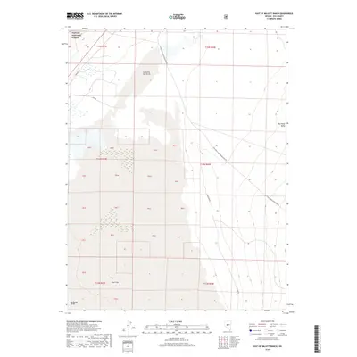
2018 Map of East of Millett Ranch
USGS Topo · Published 2018About this map
Spaulding Salt Marsh and the arid floor of the Big Smoky Valley dominate this part of Nye County, where the landscape is defined by its water-scarce environment. The eastern edge of the Toiyabe National Forest provides a high-ground backdrop to a series of drainage basins and an expansive Alkali Flat. The map reveals a network of functional transportation routes that speak to the region's utilitarian land use, from the historic alignment of the Fremont Trl to the industrial access provided by Lower Mine Rd and the appropriately named Dump Rd. This 2018 survey by the U.S. Geological Survey captures the basin-and-range character of central Nevada, where development is limited to forest-access roads like the Natl Forest Develop Road 023 Rd and the occasional waypoint in a vast, open territory.
Find a feature on this map
14 named features on this map. Tap any name to fly to it.
Don’t see what you’re looking for? This feature index may not catch every label — zoom into the map to look around manually.
Map Details
Editions of this 2018 East of Millett Ranch Map
This is the sole edition of this map. No revisions or reprints were ever made.
Other maps of this area

1907 · Tonopah
USGS Topo · 1:250,000

1908 · Tonopah
USGS Topo · 1:250,000
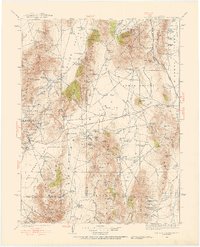
1926 · Roberts Mountains
USGS Topo · 1:250,000
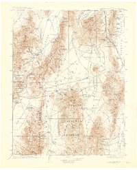
1929 · Roberts Mountains
USGS Topo · 1:250,000

1955 · Millett
USGS Topo · 1:250,000
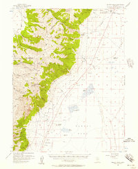
1956 · Millett Ranch
USGS Topo · 1:62,500

1956 · Tonopah
USGS Topo · 1:250,000

1959 · Tonopah
USGS Topo · 1:250,000

1959 · Millett
USGS Topo · 1:250,000
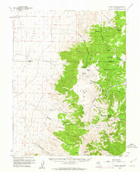
1960 · Wildcat Peak
USGS Topo · 1:62,500