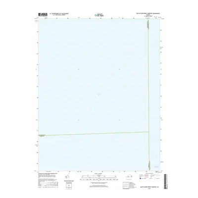
2016 Map of East of New Point Comfort
USGS Topo · Published 2016About this map
Chesapeake Bay dominates this marine-focused survey, capturing a critical maritime junction where the coastal waters meet Virginia's Eastern Shore. This 2016 edition focuses on the open water and navigational corridors rather than terrestrial settlements, highlighting the complex underwater administrative boundaries that divide the bay. These include the maritime borders of Mathews Co, York Co, and Northampton Co, which converge in the central waters. Near the southeastern corner, a segment of the Intracoastal Waterway is marked, indicating the primary transit route for vessels navigating the Atlantic seaboard. The map is an essential reference for understanding the jurisdictional layout of the bay and the vital shipping lanes that define the region's contemporary maritime economy.
Find a feature on this map
5 named features on this map. Tap any name to fly to it.
Don’t see what you’re looking for? This feature index may not catch every label — zoom into the map to look around manually.
Map Details
Editions of this 2016 East of New Point Comfort Map
This is the sole edition of this map. No revisions or reprints were ever made.
Other maps of this area

1907 · Hampton
USGS Topo · 1:62,500

1916 · Mathews
USGS Topo · 1:62,500

1917 · Mathews
USGS Topo · 1:62,500

1943 · Elliots Creek
USGS Topo · 1:25,000

1943 · Richmond
USGS Topo · 1:250,000

1944 · Messick
USGS Topo · 1:24,000

1948 · Cape Charles
USGS Topo · 1:24,000

1948 · New Point Comfort
USGS Topo · 1:24,000

1948 · Mathews
USGS Topo · 1:24,000

1949 · Richmond
USGS Topo · 1:250,000