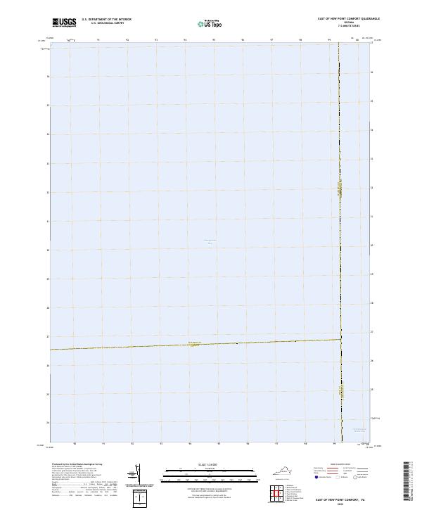
2022 Map of East of New Point Comfort
USGS Topo · Published 2022About this map
Chesapeake Bay dominates this maritime survey, illustrating the open water at the convergence of three Virginia coastal counties. Located east of the mainland, the map documents the critical navigation route of the Intracoastal Waterway as it passes through the southern portion of the sheet. The absence of landmass highlights the strategic position of these waters, where the boundaries of Mathews, York, and Northampton Counties meet in the bay. This document serves as a precise record of marine jurisdictions and federal water corridors in the early twenty-first century, useful for understanding the offshore limits of the Virginia Peninsula and the Eastern Shore.
Find a feature on this map
5 named features on this map. Tap any name to fly to it.
Don’t see what you’re looking for? This feature index may not catch every label — zoom into the map to look around manually.
Map Details
Editions of this 2022 East of New Point Comfort Map
This is the sole edition of this map. No revisions or reprints were ever made.
Other maps of this area

1907 · Hampton
USGS Topo · 1:62,500

1916 · Mathews
USGS Topo · 1:62,500

1917 · Mathews
USGS Topo · 1:62,500

1943 · Elliots Creek
USGS Topo · 1:25,000

1943 · Richmond
USGS Topo · 1:250,000

1944 · Messick
USGS Topo · 1:24,000

1948 · Cape Charles
USGS Topo · 1:24,000

1948 · New Point Comfort
USGS Topo · 1:24,000

1948 · Mathews
USGS Topo · 1:24,000

1949 · Richmond
USGS Topo · 1:250,000