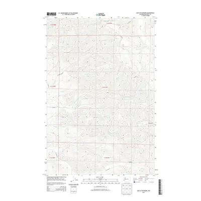
2013 Map of East of Raymond
USGS Topo · Published 2013About this map
Sutico stands as the primary named settlement in this pocket of the Willapa Hills, where the timber-rich landscape is defined by an intricate network of logging roads and watercourses. The drainage patterns of the Fall River and its numerous tributaries, including Ward Cr and Howe Cr, dictate the movement across this Pacific County terrain. High points like the Pack Sack Lookout overlook the deep valleys of Fairchild Cr and Wilson Cr, illustrating the isolation of this working forest region. The presence of specialized infrastructure, such as A Line Rd and B Line Rd, highlights the long-standing industrial role of these hills in Washington's timber economy. Throughout the quadrangle, smaller streams like Whitcomb Cr and Mill Cr carve through the steep topography, providing a detailed record of the Pacific Northwest's coastal interior geography.
Find a feature on this map
25 named features on this map. Tap any name to fly to it.
Don’t see what you’re looking for? This feature index may not catch every label — zoom into the map to look around manually.
Map Details
Editions of this 2013 East of Raymond Map
This is the sole edition of this map. No revisions or reprints were ever made.
Other maps of this area
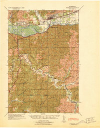
1940 · Montesano
USGS Topo · 1:62,500
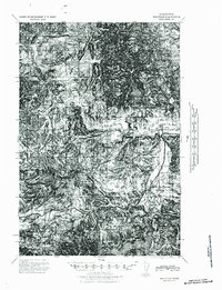
1941 · Walville
USGS Topo · 1:62,500
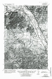
1941 · Ford
USGS Topo · 1:62,500
1953 · Hoquiam
USGS Topo · 1:250,000
1953 · Pe Ell
USGS Topo · 1:62,500
1953 · Malone
USGS Topo · 1:62,500
1955 · Montesano
USGS Topo · 1:62,500
1955 · Raymond
USGS Topo · 1:62,500
1957 · Hoquiam
USGS Topo · 1:250,000
1958 · Hoquiam
USGS Topo · 1:250,000