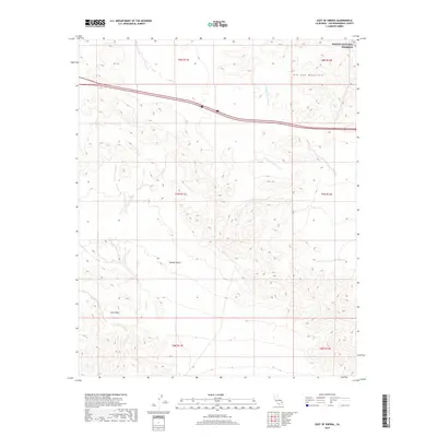
2018 Map of East of Siberia
USGS Topo · Published 2018About this map
Mojave National Preserve covers the northern portion of this arid landscape in eastern San Bernardino County, where the topography is defined by the stark rise of the Old Dad Mountains. Below these heights, the terrain transitions into the broader expanse of the Mojave Desert, marked by the distinct geologic formations of the Lava Hills to the southwest. Drainage patterns in this high-desert environment are illustrated by the seasonal path of Orange Blossom Wash, which cut through the undulating basin between mountain ranges. The map provides a detailed view of the natural relief and surveyor townships, including t8n r11e and t7n r12e, capturing the undeveloped character of this protected wilderness area in the early twenty-first century.
Find a feature on this map
11 named features on this map. Tap any name to fly to it.
Don’t see what you’re looking for? This feature index may not catch every label — zoom into the map to look around manually.
Map Details
Editions of this 2018 East of Siberia Map
This is the sole edition of this map. No revisions or reprints were ever made.
Other maps of this area

1942 · Amboy
USGS Topo · 1:250,000

1943 · Amboy
USGS Topo · 1:250,000

1954 · Needles
USGS Topo · 1:250,000
1954 · Amboy Crater
USGS Topo · 1:24,000
1954 · Bagdad SW
USGS Topo · 1:24,000
1956 · Needles
USGS Topo · 1:250,000
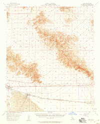
1956 · Cadiz
USGS Topo · 1:62,500
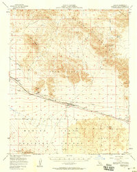
1956 · Bagdad
USGS Topo · 1:62,500
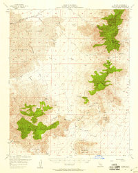
1956 · Flynn
USGS Topo · 1:62,500
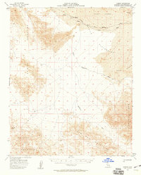
1957 · Kerens
USGS Topo · 1:62,500